| Author(s) | Vanier and Lafrance, 2020 |
| Methodology | Defined from geological survey and geophysical data |
| Geological(s) subdivision(s) | Churchill Province / Ungava Orogen / Narsajuaq Lithotectonic Domain |
| Main movement | Does not apply |
| Deformation style | Parallel |
| Metamorphic facies (mean facies related to main deformation) | Upper ampibolites to granulites |
Background and Methodology
This record is based on aeromagnetic maps’ interpretation (Intissar et al., 2014) and information gathered from geological survey conducted in the summer of 2019 in the Sirmiq Lake area (Vanier and Lafrance, 2020).
Boundaries and Morphology
| Width | 7 km |
| Length | 22 km |
| Orientation | WSW-ENE elongation |
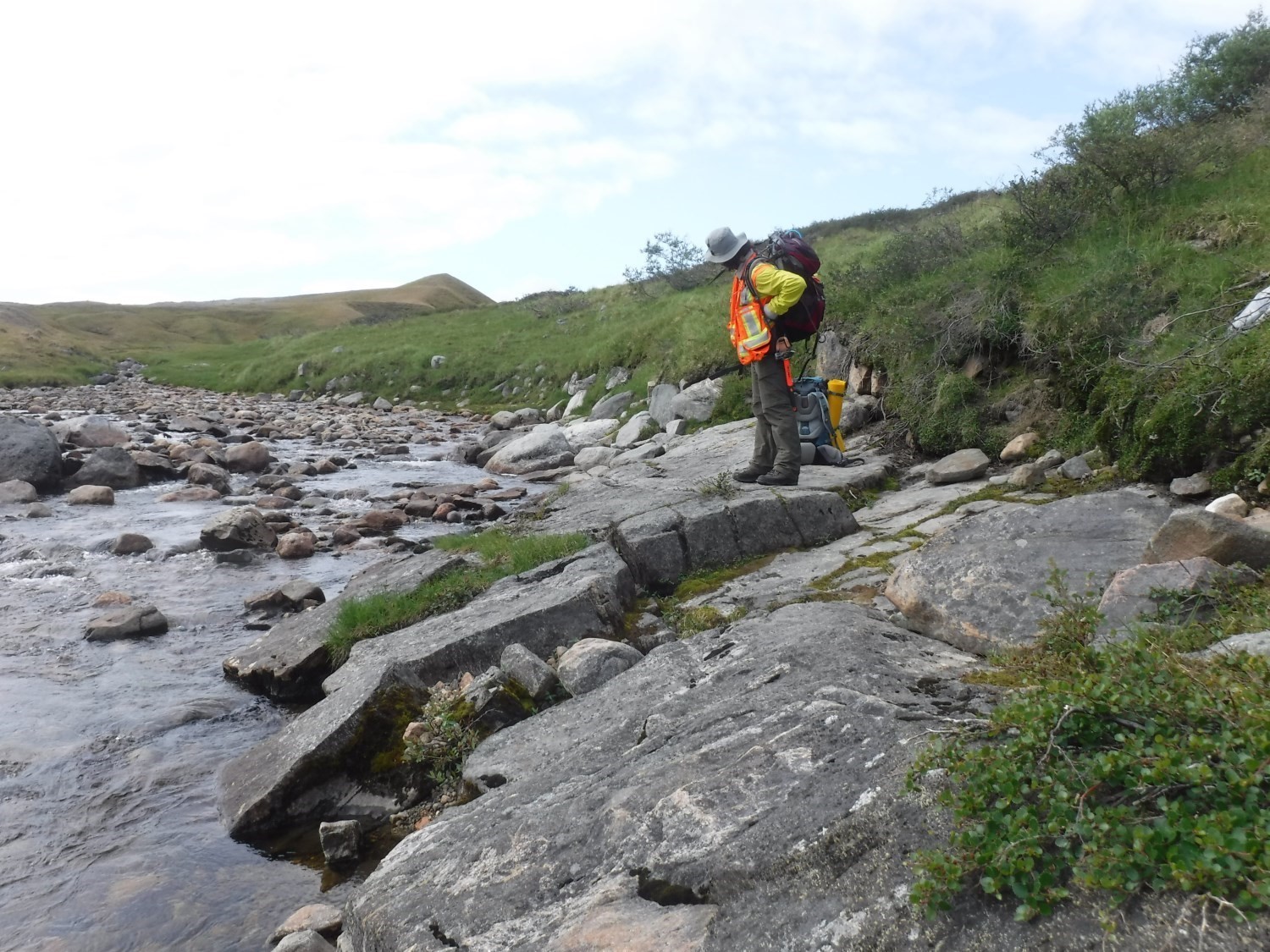
The Aküllirütaaluk Structural Domain (DSaku) is elongated along the regional structural grain. Its length is ~22 km, its maximum width reaches nearly 7 km in places. It is likely to continue a few more kilometres eastward (NTS sheet 35J04). It is in gradual contact with the adjacent Kuuruq Structural Domain (DSkuuu) to the north, Sources Structural Domain (DSsou) to the west, and the Sugluk Shear Zone (SCsug) to the south.
Stratigraphic Units Concerned
The main stratigraphic units present in the DSaku are the Pingasualuit, Sainte-Hélène and Estre complexes. The Crony and Gastrin suites are also present in lesser proportions and are concentrated in the southern part of the domain.
Structural Characteristics
❯ Main Fabrics

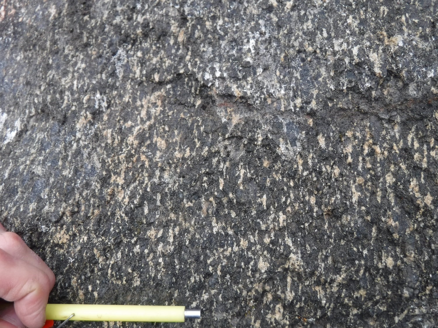
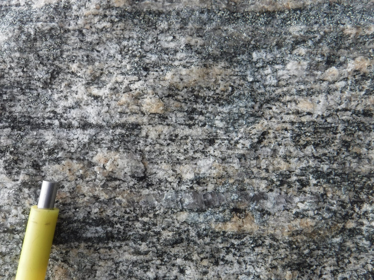
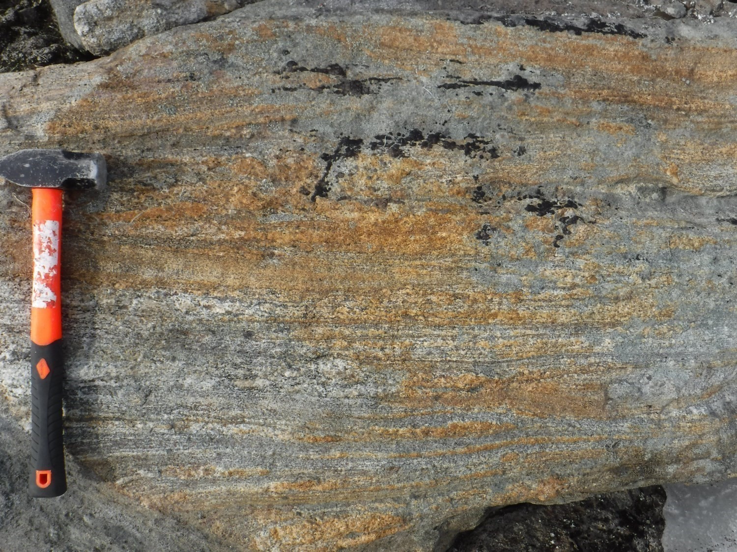
 The dominant fabric in the DSaku is a tectometamorphic foliation oriented WSW dipping of 45° northward on average. This planar fabric is penetrative and features a stretching lineation slightly offset westward from the average regional foliation’s slope line. The foliation is marked by the alignment of biotite flakes and by mineral segregation in millimetre-thick bands, which gives a more or less gneissic appearance to the rock, particularly within the Sainte-Hélène Complex. Discontinuous quartz bands a few millimetres wide are also present in the richest quartz lithologies. As for the linear fabric, it is expressed by the stretching of quartz in intermediate and felsic rocks and by the elongation of ferromagnesian mineral clusters in mafic protoliths.
| Main Fabric | Type of Fabric | Direction (°) | Dip / Plunge (°) | Number of Measurements | Comments |
| Foliation Sn | Tectonometamorphic foliation and gneissosity | 255 | 45 | 36 | |
| Lineation Ln | Stretch and mineral lineation | 310 | 32 | 18 |
|
❯ Other Fabrics
Not observed.
❯ Folds
Does not apply.
❯ Crosscutting Relationships
None.
❯ Kinematics
Not observed.
Deformation Style
The intensity of deformation in the DSaku is moderate to intense. All outcrops have a clearly defined foliation that can be correlated with surrounding outcrops. The same applies to lineations that are regularly present. Mylonites are not widespread in the DSaku, but several outcrops dispaly strong anisotropy which is marked by the stretching of quartz, feldspar or ferromagnesian mineral clusters. The deformation style attributed to the DSaku is parallel, since fabrics observed are regular and parallel to each other at the scale of the domain.
Metamorphic Characteristics
The metamorphic peak in the DSaku is assessed at the granulite or amphibolite facies, depending on the area (Vanier and Lafrance, 2020). Indeed, like the Crony Suite, the Sainte-Hélène Complex is mostly free of orthopyroxene. Like other structural domains of the Narsajuaq Lithotectonic Domain, the presence of stromatic banding parallel to the tectometamorphic foliation supports the view that partial melting is synchronous with the main deformation. Thus, the metamorphic facies associated with the main deformation is the upper amphibolite to granulite facies.
Alterations
Does not apply.
Geophysical Characteristics
On the residual magnetic field map, the DSaku corresponds almost exclusively to a positive magnetic anomaly which is particularly marked for the Estre and Pingasualuit complexes. This positive anomaly is elongated parallel to the regional structural grain and has low amplitude magnetic peaks. These are also parallel to regional foliation and were used to draw foliation traces.
Chronological Markers
There is no geochronological analysis available in the DSaku. It is assumed that the main deformation occurred at the same period as in surrounding structural domains, where it may have occurred in conjunction with regional metamorphism. The latter is constrained to ~1806 ±38 Ma (Navvaataaq Suite), 1880 ±2 Ma and 1841 ±2 Ma (Pingasualuit Complex; Davis and Sutcliffe, 2018).
References
Publications Available Through Sigéom Examine
DAVIS, D. W., SUTCLIFFE, C N., 2018. U-Pb Geochronology of Zircon and Monazite by LA-ICPMS in Samples from Northern Quebec. University of Toronto. MB 2019-01, 113 pages.
INTISSAR, R., BENAHMED, S., D’AMOURS, I., 2014. Levé magnétique et spectrométrique aéroporté de la partie nord de l’Orogène de l’Ungava, Province de Churchill. MRN. DP 2014-03, 10 pages and 410 plans.
VANIER, M.-A., LAFRANCE, I., 2019. Géologie de la région du lac Sirmiq, Orogène de l’Ungava, Nunavik, Québec, Canada. MERN. BG 2020-02, 1 plan.
Suggested Citation
Ministère de l’Énergie et des Ressources naturelles (MERN). Aküllirütaaluk Structural Domain. Quebec Structural Lexicon. https://gq.mines.gouv.qc.ca/lexique-structural/domaine-structural-akullirutaaluk_en/ [accessed on Day Month Year].
Contributors
|
First publication |
Marc-Antoine Vanier, Jr. Eng., M.Sc. marc-antoine.vanier@mern.gouv.qc.ca; Isabelle Lafrance, P. Geo., M.Sc. isabelle.lafrance@mern.gouv.qc.ca (redaction); Ghyslain Roy, P. Geo. (coordination); James Moorhead, P. Geo., M.Sc. (critical review); Simon Auclair, P. Geo., M.Sc. (editing); André Tremblay (HTML editing); Céline Dupuis, P. Geo., Ph.D. (English version) |


