

Last modified: 4 September 2019
Translation of original French
| Author: | Couture, 1996 |
| Age: | Archean |
| Reference section: | None |
| Type area: | Bohier Island, Lérand and Cadieux lakes areas (NTS sheets 33A01, 33A07, 33A08, 23D04, 23D05, 23D11 and 23D12) |
| Geological province: | Superior Province |
| Geological subdivision: | Opatica Subprovince |
| Lithology: | Volcanic rocks |
| Type: | Lithostratigraphic |
| Rank: | Group |
| Status: | Formal |
| Use: | Active |
- Groupe de René
Background
The Upper Eastmain Greenstone Belt (UEGB) was first mapped by geologists of the Geological Survey of Canada. The geological survey work of Eade (1966), covering a large area of the Eeyou Istchee James Bay region, identified a strip of greenstones north of the Otish Mountains, but did not really define its extensions. The UEGB was better circumscribed in the 1980s following the work of Hocq (1985), Roy (1985, 1988), Couture (1986, 1987a, 1987b, 1987c, 1993) and Couture and Guha (1990). Couture (1986) divided rocks of the belt into two lithostratigraphic groups: the Bohier Group, which consists mainly of sedimentary rocks, and the René Group, which comprises mostly volcanic rocks (Couture 1987a; Roy 1988). Beauchamp et al. (2018) and Beauchamp (2019) subdivided René Group volcanic rocks into four formations based on geochemical and geochronological data from their geological mapping work in 2017 (Bohier Island project) and 2018 (Cadieux Lake project), respectively. The unit name is from the René Lake located in sheet 33A08.
Description
The René Group comprises volcanic rocks belonging to the UEGB (Opatica Subprovince). The stratigraphy of the René Group units is based primarily on geochronological data available and on the study of the best-preserved outcrops from the belt’s south and west branches (Talla Takam et al., in preparation; Beauchamp et al., 2018; Beauchamp, 2019).
The René Group includes at least three volcanic events. The first event, mostly mafic, is Mesoarchean; it corresponds to the Érasme Formation (2800 ±6 Ma; Davis and Sutcliffe, 2018b). The Roman Formation represents the second volcanic event. In the southern branch, this unit consists of felsic and intermediate volcaniclastics and volcanic rocks dated 2770 ±3 Ma (Davis and Sutcliffe, 2018b). Lithologies of the Roman Formation are more varied in the east branch of the belt than in the south branch. In the former, the formation includes mafic volcanic rocks (2770 ±6 Ma; Davis and Sutcliffe, 2018a) and minor amounts of iron formation and sedimentary rocks. The 30 Ma time gap between the emplacement of the Érasme and Roman formations could be explained by the presence of a hiatus or a major fault that obliterates a portion of the stratigraphy. Finally, in the south branch of the UEGB, the last event corresponds to the Clément Formation, which consists essentially of mafic volcanic rocks, sills, ultramafic flows, iron formation and garnet amphibolite. This last unit has not been dated, but several stratigraphic polarity indicators (pillow peduncles facing south and SSW) indicate that the Clément Formation is at the top of the volcanic pile of the south branch. By relative chronology, the Clément Formation is younger than 2770 Ma. Since the stratigraphy of the René Group is overturned, the younger Clément Formation is structurally underlying older rocks of the Roman and Érasme formations.
The Dolent Formation, located in the west and north branch of the UEGB, consists mostly of basalt and minimally of mafic-ultramafic sills, komatiite and thin beds of chert, iron formation and felsic tuff. Dated 2751 ±5 Ma (Davis, personal communication, 2019), the Dolent Formation was deposited after the Érasme and Roman formations. Its stratigraphic position in relation to the Clément Formation is not known. It could be contemporary (stratigraphic equivalent) or not with the Clément Formation.
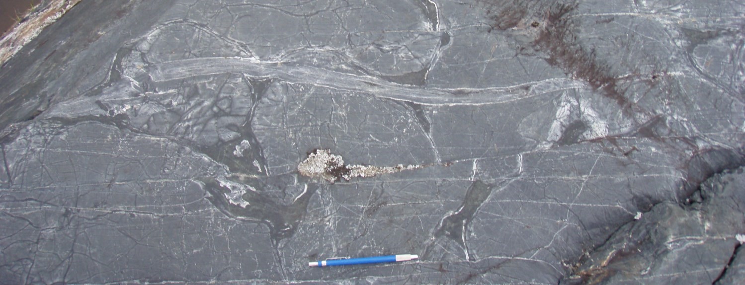
Rocks of the René Group are generally metamorphosed to the amphibolite facies (Couture, 1987a; Roy, 1988; Beauchamp et al., 2018; Beauchamp, 2019) and have undergone local retrogressive metamorphism to the greenschist facies (Dejou, 1987; Couture, 1993; Beauchamp et al., 2018). Within the René Group, the intensity of regional metamorphism is not uniform. In general, it is higher in the central part of the south branch, in the René Lake area (sheet 33A08; Couture, 1993; Beauchamp et al., 2018).
Thickness and Distribution
The René Group is located in the Opatica Subprovince in sheets 33A01, 33A07, 33A08, 23D04, 23D05, 23D11 and 23D12. This group is the main lithostratigraphic unit of the UEGB. In the east and west branches of the belt, the René Group is oriented NE-SW to EW and extends from Wahemen Lake (23D11) to Cadieux Lake (33A07) for a distance of ~100 km. The René Group is also present in the south branch of the belt. It was mapped from Bohier Island (sheet 33A08) to the north of Laparre Lake (sheet 23D04) for a distance of 35 km along a NE-SW axis. The René Group is also present in the north branch of the belt, from an area north of the Eastmain River to the Bohier Island. It ranges in thickness from 500 m to 9 km.
Dating
Rocks of the Érasme Formation, at the base of the René Group, are dated 2800 ±6 Ma (mAera1; Davis and Sutcliffe, 2018b). Two ages were obtained in rocks of the Roman Formation corresponding to the second volcanic event: 2770 ±3 Ma (nArmn1a; Davis and Sutcliffe, 2018b) and 2770 ±6 Ma (nArmn1b; Davis and Sutcliffe, 2018a). Finally, a lapilli felsic tuff (nAdln6) at the base of the Dolent Formation was dated 2751 ±5 Ma (Davis, personal communication, 2019).
| Unit | Isotopic System | Mineral | Crystallization Age (Ma) | (+) | (-) | Reference(s) |
| mAera1 | U-Pb | Zircon | 2800 | 6 | 6 | Davis and Sutcliffe, 2018b |
| nArmn1a | U-Pb | Zircon | 2770 | 3 | 3 | Davis and Sutcliffe, 2018b |
| nArmn1b | U-Pb | Zircon | 2700 | 6 | 6 | Davis and Sutcliffe, 2018a |
| nAdln6 | U-Pb | Zircon | 2751 | 5 | 5 | Davis, personal communication, 2019 |
Stratigraphic Relationship(s)
Rocks of the René Group represent the remains of a supracrustal cover overlying a Mesoarchean to Neoarchean gneissic basement. The basement age was estimated between 3024 Ma and 2822 Ma (Davis, personal communication, 2019; Davis and Sutcliffe, 2018a) from inherited zircons of the Misasque Complex. In the western portion of the UEGB, the Dolent Formation overlies the Digne Pluton (2814 ±7 Ma; Davis, personal communication, 2019).
The base of the Érasme Formation, in the lower part of the René Group, represent intrusive contacts. The Île Bohier Pluton (2771 ±6 Ma; Davis and Sutcliffe, 2018b) is contemporary with the Roman Formation and cuts the Érasme Formation. The Chiyaaskw Pluton (2746 ±3 Ma; Davis and Sutcliffe, 2018a), the Macleod Batholith (2704 ±2 Ma; Davis, personal communication, 2019), the Cadieux Suite (2700 ±3 to 2699 ±5 Ma; Davis, personal communication, 2019; Davis and Sutcliffe, 2018b), the youngest intrusive phases of the Misasque Complex (2695 ±8 Ma; Davis and Sutcliffe, 2018a) and the Wahemen Suite (2640 ±10 Ma; Davis and Sutcliffe, 2018a) cut volcanic rocks of the René Group.
The René Group top contact is generally characterized by the presence of a thrust fault that masks the discordance with Bohier Group sedimentary rocks. Volcanic rocks of the René Group in the Opatica Subprovince overthrust paragneiss of the Opinaca Subprovince (Laguiche Complex). The Bart Thrust Fault is clearly marked on the aeromagnetic map (D’Amours, 2011; Benahmed and Intissar, 2016). Magnetic lineaments of the Opinaca Subprovince are straight-lined, oriented ENE-WSW and truncated by the Bart Thrust Fault.
Finally, Paleoproterozoic sedimentary rocks of the Otish Basin (Otish Supergroup) unconformably lie on René Group volcanics.
Paleontology
Does not apply.
References
|
Author(s) |
Title | Year of Publication | Hyperlink (EXAMINE or Other) |
|---|---|---|---|
| BEAUCHAMP, A.-M. | Géologie de la région du lac Cadieux, sous-provinces d’Opatica, d’Opinaca, Eeyou Istchee Baie-James, Québec, Canada. MERN. BG 2019-02. | 2019 | BG 2019-02 |
| BEAUCHAMP, A.-M. – MASSEI, F. – DAOUDENE, Y. | Géologie de la région de l’île Bohier, au contact entre les sous-provinces d’Opatica, d’Opinaca et le Bassin d’Otish, au nord de Mistissini, Municipalité Eeyou Istchee Baie-James, Québec, Canada. MERN. BG 2018-02. | 2018 | BG 2018-02 |
| BENAHMED, S. – INTISSAR, R. | Levé magnétique aéroporté dans le secteur des Monts Otish. Ministère de l’Énergie et des Ressources naturelles, Québec; DP 2016-04, 7 pages, 2 maps. | 2016 | DP 2016-04 |
| COUTURE, J.-F. | Géologie de la partie occidentale de la bande volcano-sédimentaire de la rivière Eastmain supérieure. Ministère de l’Énergie et des Ressources du Québec, Québec; DP-87-05, 4 maps. | 1986 | DP-87-05 |
| COUTURE, J.-F. | Géologie de la partie occidentale de la bande volcanosédimentaire de la rivière Eastmain Supérieure – Rapport intérimaire. Ministère de l’Énergie et des Ressources, Québec; MB 87-51, 77 pages. | 1987a | MB 87-51 |
| COUTURE, J.-F. | Géologie de la partie orientale de la bande de roches vertes de la rivière Eastmain supérieure. In Rapport d’activité 1987. Ministère de l’Énergie et des Ressources, Québec; DV 87-24, page 48. |
1987b | DV 87-24 |
| COUTURE, J.-F. | Géologie de la bande volcano-sédimentaire de la rivière Eastmain supérieure. In Exploration au Québec – Études géoscientifiques récentes. Ministère de l’Énergie et des Ressources, Québec; DV 87-25, pages 115-118. | 1987c | DV 87-25 |
| COUTURE, J.-F. | Géologie et gîtologie du gisement de la Rivière Eastmain, Ungava, Québec. Doctoral thesis, Université du Québec à Chicoutimi, 286 pages. | 1993 | Source |
| COUTURE J.-F. – GUHA, J. | Relative timing of emplacement of an Archean lode-gold deposit in an amphibolite terrane: the Eastmain River deposit, northern Quebec. Canadian Journal of Earth Sciences; volume 27, pages 1621–1636. |
1990 | Source |
| D’AMOURS, I. | Levé magnétique et spectrométrique aéroporté dans le secteur de la Haute Eastmain, Baie-James, Québec. Ministère des Ressources naturelles et de la Faune, Québec; DP 2011-01, 8 pages, 130 plans. | 2011 | DP 2011-01 |
| DAVIS, D.W. – SUTCLIFFE, C.N. | U-Pb Geochronology of Zircon and Monazite by LA-ICPMS in Samples from Northern Quebec. UNIVERSITY OF TORONTO, 54 pages. | 2018a | MB 2018-18 |
| DAVIS, D.W. – SUTCLIFFE, C.N. | U-Pb Geochronology of Zircon and Monazite by LA-ICPMS in Samples from Northern Quebec. UNIVERSITY OF TORONTO, 113 pages. | 2018b | MB 2019-01 |
| DEJOU, B. | Étude pétrographique et géochimique de la bande volcano-sédimentaire de la rivière Eastmain Supérieure, Nouveau Québec. Projet de fin d’études, École Polytechnique de Montréal, 114 pages. | 1987 | – |
| EADE, K.E. | Fort-George river and Kaniapiskau river (west half map area), New-Quebec. Geological Survey of Canada; Memoir 339, 83 pages. | 1966 | – |
| HOCQ, M. | Géologie de la région des lacs Campan et Cadieux, Territoire-du-Nouveau-Québec. Ministère de l’Énergie et des Ressources, Québec; ET 83-05, 188 pages, 4 maps. | 1985 | ET 83-05 |
| ROY, C. | Projet du lac Wahemen (Rivière Eastmain). Dans : Rapports d’activité 85. Ministère de l’Énergie et des Ressources, Québec; DV 85-12, page 31. | 1985 | DV 85-12 |
| ROY, C. | Géologie du secteur de l’Île Bohier de la bande volcanosédimentaire de la rivière Eastmain Supérieure. Ministère de l’Énergie et des Ressources, Québec; MB 88-16, 74 pages. | 1988 | MB 88-16 |
| TALLA TAKAM, F. – BEAUCHAMP, A.-M. – MASSEI, F. | Géologie de la région des lacs Léran et Emmanuel. Ministère de l’Énergie et des Ressources naturelles, Québec. | In preparation | – |