

First published: 25 July 2019
Last modified:
DISCLAIMER: This English version is translated from the original French. In case of any discrepancy, the French version shall prevail.
| Author(s): | Chown, 1971 |
| Age: | Paleoproterozoic |
| Stratotype: | Type section of the Indicator Formation (now Indicator Group) of Chown and Caty (1973) located on the north face of the hill north of Conflans Lake (52º26’N, 70º47’W) |
| Type area: | Conflans Lake area (NTS sheet 23D07) |
| Geological province: | Superior Province |
| Geological subdivision: | Opatica Subprovince |
| Lithology: | Conglomerate and sandstone |
| Category: | Lithostratigraphic |
| Rank: | Group |
| Status: | Formal |
| Use: | Active |
Background
The Indicator Lake Formation was introduced by Chown (1971) to designate the lower sequence of the Otish Group. It was later renamed the Otish Group Indicator Formation by Chown and Caty (1973). In its synthesis of the Otish Basin, Genest (1989) later elevated this unit to the rank of group, leading to the redefinition of the Otish Group as a supergroup. Correlations between the different nomenclature used in previous work is summarized in the Otish Supergroup record and in the summary table of Genest (1989, p. 21). The Ministère‘s compilation maps (2010a-c) are essentially based on descriptions from Genest (1989) and are summarized in the following section. The name comes from Indicator Lake in SW Otish Basin (sheet 22M13).
Description
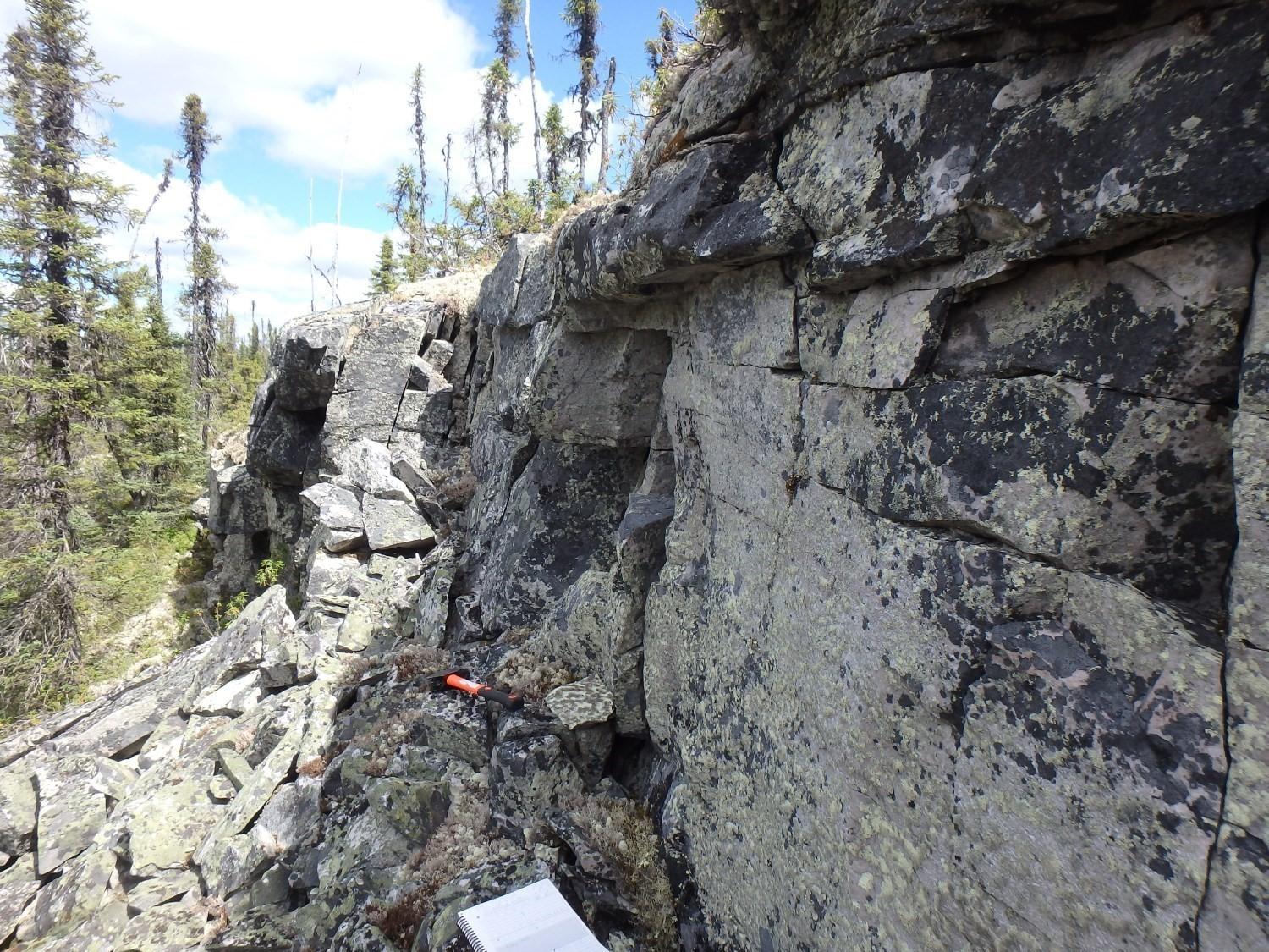
Despite wide variations in thickness, the Indicator Group is always composed of two sedimentary cycles corresponding to the Matoush Formation, at its base, overlain by the Shikapio Formation. Each cycle consists of a basal quartz pebble oligomictic conglomerate unit overlain by a sandstone unit (Members A and B of Genest, 1989, respectively). Beds, which can be more than a metre thick, are massive and resistant to erosion (Genest, 1986). Sedimentary rocks are mainly grey, with some beige or greenish beds. The Indicator Group is characterized by the absence of plagioclase and high diagenetic alteration of K-feldspar grains.
Chown and Caty (1973) described the type section of the Indicator Formation (now Indicator Group) on the north side of the hill north of Conflans Lake:
| Unit |
Interval (m) |
Description |
| Shikapio Formation | 245 | Base of Gabbro Sill (estimated 61 m of sandstone above sill). |
| 204-245 | Buff, pink and white, well-sorted arkose and subarkose, well laminated and cross-laminated. Thin red argillite beds, minor covered intervals. | |
| 193-204 |
Buff, white and pink pebbly arkosic conglomeratic sandstone and quartz pebble conglomerate, porrly sorted, minor sandstone. |
|
| Matoush Formation | 137-193 | Buff, pink and grey sandstone moderate to well sorted, subarkose and arkose. Well-laminated, minor cross-laminations. Minor covered intervals. |
| 70-137 | Cream to buff partly sorted pebbly conglomeratic sandstone. Intercalated grey and cream well-sorted arkosic sandstone, very few quartz-pebble conglomerate beds (73-96 m covered interval). | |
| 0-70 | Cream to buff quartz pebble conglomerate and pebbly conglomeratic arkose, poorly sorted, massive beds. Conglomerate content decreases up-section. Some quartz cobble conglomerate beds near base of section. | |
| 0 | Approximately 30 m covered interval to granite outcrop below. |
Thickness and distribution
The Indicator Group corresponds to the peripheral units of the Otish Basin, except at the SW end, and appears to follow the trace of a regional synform of general NE-SW orientation. Its thickness varies considerably from one area to another, from 225 m in the type area (sheet 23D07) to over 1200 m in the Indicateur Lake area (sheet 22M13). Paleoproterozoic units in the Otish Basin generally have shallow dips. The distribution of the different sedimentary units is largely controlled by the underlying Archean basement paleotopography, fault zones and topography of the area.
Dating
The Indicator Group is cut by gabbro dykes and sills associated with the Otish Gabbro dated to 2169 Ma (Hamilton and Buchan, 2016; Miligragovic et al., 2016), giving it a minimum sedimentation age.
Stratigraphic Relationship(s)
Terrigenous sedimentary rocks of the Indicator Group unconformably overlie regolitized Archean bedrock (Chown and Caty, 1973; Caty, 1976; Chown and Caty, 1983) and are overlain by units of the Péribonca Group. Although no major unconformity was observed between the Indicator and Péribonca groups, some field evidence suggests an erosional discordance (Genest, 1989). The Indicator Group is cut by gabbro dykes and sills associated with the Otish Gabbro.
Paleontology
Does not apply.
References
Publications Available Through SIGÉOM Examine
CATY, J.L. 1976. STRATIGRAPHIE ET SÉDIMENTOLOGIE DE LA FORMATION PAPASKWASATI DE LA RÉGION DU LAC MISTASSINI, QUÉBEC. MRN. DPV 423, 288 pages.
CHOWN, E H. 1971. RÉGION DE LA RIVIÈRE SAVANNE, TERRITOIRE DE MISTASSINI, COMTÉS DE ROBERVAL ET DE CHICOUTIMI. MRN. RG 146, 42 pages and 1 plan.
GENEST, S. 1986. GÉOLOGIE DE LA RÉGION DU LAC INDICATEUR (TERRITOIRE DU NOUVEAU-QUÉBEC). MRN. ET 86-04, 29 pages and 1 plan.
MRNF. 2010a. CARTE(S) GÉOLOGIQUE(S) DU SIGÉOM – feuillet 22M. CG SIGEOM22M, 16 plans.
MRNF. 2010b. CARTE(S) GÉOLOGIQUE(S) DU SIGÉOM – feuillet 23D. CG SIGEOM23D, 16 plans.
MRNF. 2010c. CARTE(S) GÉOLOGIQUE(S) DU SIGÉOM – feuillet 32P. CG SIGEOM32P, 16 plans.
Other Publications
Chown, E.H., Caty, J.-L. 1973. Stratigraphy, petrography and paleocurrent analysis of the Aphebian clastic formations of the Mistassini-Otish Basin. In Huronian stratigraphy and sedimentation. Edited by G.M. Young. Geological Association of Canada; Special Paper 12, pages 49-71.
Chown, E.H., Caty, J.L. 1983. Diagenesis of the Aphebian Mistassini regolith, Quebec, Canada. Precambrian Research; volume 19, pages 285-299. https://doi.org/10.1016/0301-9268(83)90017-7
Genest, S. 1989. Histoire géologique du Bassin d’Otish, protérozoïque inférieur (Québec). Université de Montréal, doctoral thesis, 334 pages.
Hamilton, M.A., Buchan, K.L. 2016. A 2169 Ma U–Pb baddeleyite age for the Otish Gabbro, Quebec: implications for correlation of Proterozoic magmatic events and sedimentary sequences in the eastern Superior Province. Canadian Journal of Earth Sciences; 53, pages 119-128. https://doi.org/10.1139/cjes-2015-0131
Miligragovic, D., Beaudoin, G., Hamilton, M.A., King, J.J. 2016. The Paleoproterozoic Otish Gabbro suite and coeval dyke swarms of the Superior Province: Probing the ca. 2.17Ga mantle. Precambrian Research; 278, pages 126-144. https://doi.org/10.1016/j.precamres.2016.03.012
Suggested Citation
Ministère de l’Énergie et des Ressources naturelles (MERN). Indicator Group. Quebec Stratigraphic Lexicon. https://gq.mines.gouv.qc.ca/lexique-stratigraphique/province-du-superieur/groupe-indicator_en [accessed on Day Month Year].
Contributors
|
First publication |
Céline Dupuis, P. Geo., Ph.D. céline.dupuis@mern.gouv.qc.ca (redaction) Mehdi A. Guemache, P. Geo., Ph.D. (coordination); Claude Dion, Eng., M.Sc. (critical review and editing); Céline Dupuis, P. Geo., Ph.D. (English version); Yan Carette (HTML editing). |