

Last modified:
Translation of original French
| Author: | Sinclair, 1953 |
| Age: | Upper Ordovician |
| Reference section: | Shipshaw River, approximately 25 km NW the city of Saguenay (type locality) |
| Type area: | Lake Saint-Jean area (NTS sheet 32A08) |
| Geological province: | St. Lawrence Platform |
| Geological subdivision: | St. Lawrence Lowlands Platform |
| Lithology: | Limestone, shale |
| Type: | Lithostratigraphic |
| Rank: | Formation |
| Status: | Formal |
| Use: | Active |
- Trenton Group
- Tétreauville Formation
- Montréal Formation
- Neuville Formation
- Deschambault Formation
- Hull Formation
- Saint-Marc Formation
- Mile End Formation
- Ouareau Formation
- Fontaine Formation
- Pont-Rouge Formation
- Sainte-Anne Formation
- Galets Formation
- Shipshaw Formation
- Simard Formation
- Tremblay Formation
- René-Levasseur Formation
Background
The Upper Ordovician (449-454 Ma) Shipshaw Formation was introduced by Sinclair (1953) in the Lake Saint-Jean area. This formation belongs to the St. Lawrence Platform, which forms a slice in the Grenville Province. All Ordovician sedimentary rocks in this region were assigned to the Trenton Group by several authors from a chronostratigraphic perspective (e.g., Dresser and Denis, 1946; Sinclair, 1953). Other authors have done so on lithostratigraphic bases (Benoit and Valiquette, 1971; Harland et al., 1985, 1987). Instead, Desbiens and Lespérence (1989) proposed the creation of a new group for these rocks, but did not. Although spatial correlation between these Ordovician rocks in the Lake Saint-Jean area and those of the Trenton Group of the St. Lawrence Platform is not formally established, the Shipshaw Formation is maintained in this group.
Description
The Shipshaw Formation consists of an overlay of thin limestone beds, usually subnodular, and calcareous shale interstratifications. Limestone is highly fossiliferous (trilobites, brachiopods). This formation contains two non-mappable units that are well described by Desbiens and Lespérence (1989). In the Lake Saint-Jean area, the Shipshaw Formation and the three other related formations (Galets, Simard and Tremblay) cannot be mapped at the 1:50 000 scale because they are generally not more than 50 m thick and subhorizontal (<4° dip). On the geological map of the Saguenay–Lac-Saint-Jean region (sheets 32A08 and 22D), the Trenton Group is hence shown instead of these four related formations.
Shipshaw Formation 1 (Osshp1): Grey Limestone (Calcilutite, Calcisiltite and Calcarenite), Minor Amount of Shale
Unit Osshp1 of this formation consists of thin beds (4-8 cm thick) of grey limestone named in the field calcilutite, calcisiltite and calcarenite. A detailed study by Desbiens and Lespérance (1989) indicates that wackestones, packstones and grainstones alternate throughout the sequence. Greyish calcarenite (grainstone) forms 60% of the sequence. Limestone (wackestone) is sublithographic (5-6% clay), grey-brown and forms very thin beds that are difficult to define. Calcareous shale interstratifications make up 5 to 10% of the total (Desbiens and Lespérence, 1989).
Shipshaw Formation 2 (Osshp2): Limestone and Interstratified Shale
Unit Osshp2 is very similar unit Osshp1 but is more massive and shale content ranges from 5% (in Chambord) to 15% (elsewhere). Calcarenite (grainstone) forms 50% of the sequence. Wackestone and light-grey packstone form beds 1 to 10 cm thick (5 cm on average). Calcareous shale interstratifications form approximately 30% of the sequence. Hummocky cross-stratification was observed in calcilutite and calcarenite beds (Lavoie et al., 1998).
Thickness and Distribution
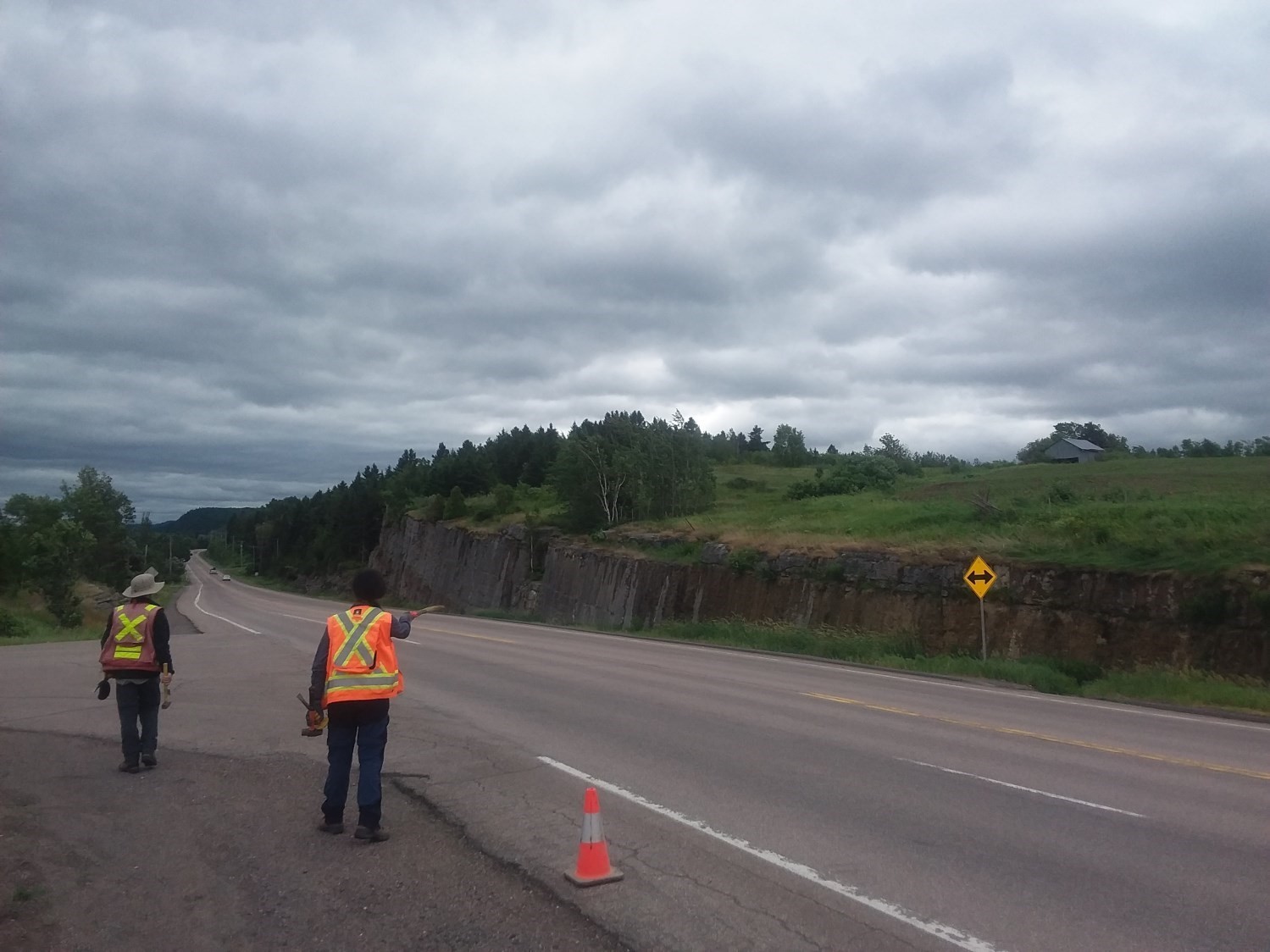
The thickness of the Shipshaw Formation varies from one locality to another. Desbiens and Lespérence (1989) indicate that it is approximately 15 m thick at Chute-aux-Galets. On both sides of the Shipshaw River, immediately below Chute-aux-Galets, the sequence considered the reference section of this formation by Desbiens and Lespérence (1989) is 22.7 to 26 m thick. In comparison, the formation is less than 13 m thick near Chambord and ~7.3 m outcrop at the quarry near Roberval.
Dating
None.
Stratigraphic Relationship(s)
The Shipshaw Formation underlies the Galets Formation and overlays the Simard Formation. Transition from the Shipshaw Formation to the Galets Formation is marked by an increase in shale interstratifications in the wackstone and packstone succession (Lavoie & Asselin, 1998).
The stratigraphic column shows the pile of the other three formations in relation to the Shipshaw Formation in the section studied by Lavoie and Asselin (1998) in the Chambord area (NE corner of NTS sheet 32A08).
Paleontology
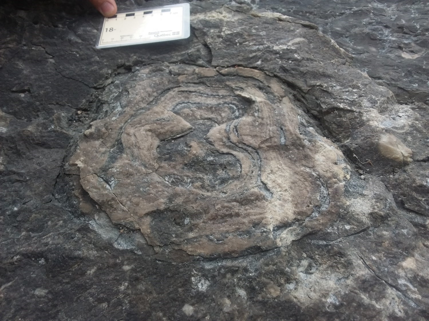
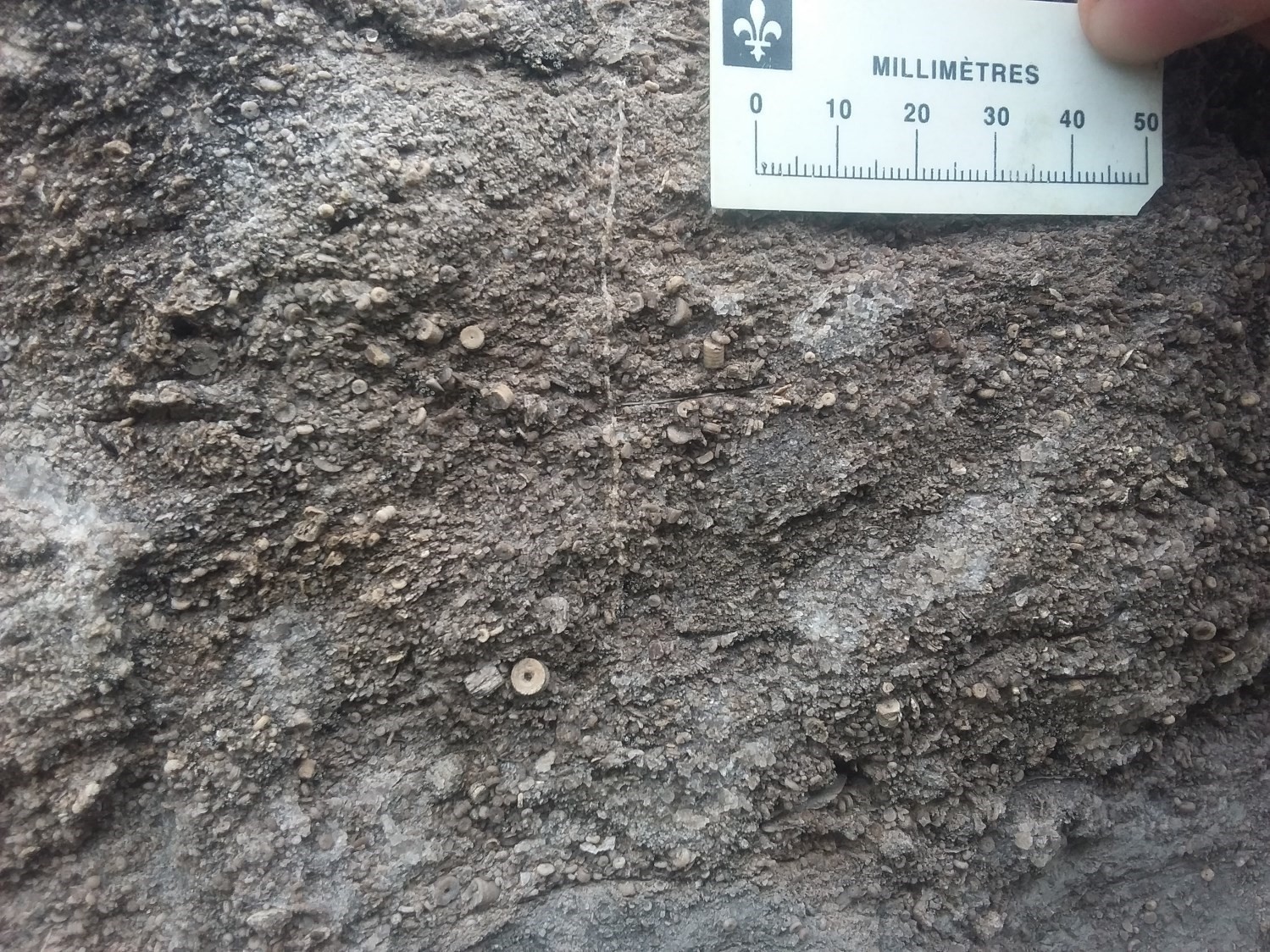
The Shipshaw Formation is very rich in trilobites (e.g., Failleana indeterminata, Flexicalymene senaria; Table 1 of Desbiens and Lespérence, 1989) and brachiopods (Sinclair, 1953 and its references). It also contains fossils of molluscs, crinoids, bryozoans, corals and stromatopores (Lavoie and Asselin, 1998). Fossil (trilobite) content of the Shipshaw Formation indicates a precise Upper Ordovician age (Edenian: 454-449 Ma; e.g. McGerrigle, 1933; Sinclair, 1953).
References
Publications available through Sigéom Examine
BENOIT, F.W., VALIQUETTE, G. 1971. REGION DU LAC SAINT-JEAN (PARTIE SUD). MRN. RG 140, 29 pages and 5 plans.
DENIS, T.C., DRESSER, J A. 1946. LA GEOLOGIE DE QUEBEC – GEOLOGIE DESCRIPTIVE. MRN. RG 020-II, 731 pages and 4 plans.
Other publications
DESBIENS, S., LESPÉRENCE, P.J.1989. Stratigraphy of the Ordovician of the Lac Saint-Jean and Chicoutimi outliers, Quebec. Canadian Journal of Earth Sciences; volume 26, pages 1185-1202. doi.org/10.1139/e89-101.
HARLAND, T.L., PICKERILLR, K., FILLION, D. 1985. Ordovician intracratonic sediments from the Lac-St-Jean and Chicoutimi areas, Quebec, eastern Canada. Canadian Journal of Earth Sciences; volume 22, pages 240 -255. doi.org/10.1139/e85-021.
HARLANDT, L., PICKERILL, R.K., FILLION, D. 1987. Establishment and development of patch reefs in the intracratonic Ordovician sequence near Chicoutimi, Quebec. Lethaia; volume 20, pages. 189-208. doi.org/10.1111/j.1502-3931.1987.tb02038.
LAVOIE, D., ASSELIN, E. 1998. Upper Ordovician facies in the Lac Saint-Jean outlier, Québec (eastern Canada): palaeoenvironmental significance for Late Ordovician oceanography. Sedimentology; volume 45, pages 817-832. doi.org/10.1046/j.1365-3091.1998.00170.x.
MCGERRIGLE, H.W., 1933. Faunas of the limestone and shale formations of the Simard area. In Annual Report for 1932, part D. Quebec Department of Mines, page 73-81.
SINCLAIR, G.W. 1953. Middle Ordovician beds in the Saguenay Valley, Québec. American Journal of Sciences; volume 251, pages 841-854. doi.org/10.2475/ajs.251.12.841.