


First published: 14 June 2019
Last modified:
DISCLAIMER: This English version is translated from the original French. In case of any discrepancy, the French version shall prevail.
| Author: | Clark, 1944 |
| Age: | Middle Ordovician |
| Stratotype: | Type section described by Clark (1952) and modified by Clark (1972) in the former Martineau Quarry, Mile End neighbourhood of Montreal |
| Type area: | Montreal area |
| Geological province: | St. Lawrence Platform |
| Geological subdivision: | St. Lawrence Lowlands Platform |
| Lithology: | Micritic and argillaceous limestone alternating with shale |
| Category: | Lithostratigraphic |
| Rank: | Formation |
| Status: | Formal |
| Use: | Active |
- Trenton Group
- Tétreauville Formation
- Montréal Formation
- Neuville Formation
- Deschambault Formation
- Hull Formation
- Saint-Marc Formation
- Ouareau Formation
- Fontaine Formation
- Pont-Rouge Formation
- Mile End Formation
- Sainte-Anne Formation
- Galets Formation
- Shipshaw Formation
- Simard Formation
- Tremblay Formation
- René-Levasseur Formation
Background
The Mile End Formation (Montreal locality) was named by Clark (1944) during work in the Montreal area. The name refers to the Mile End neighbourhood of the City of Montreal where the type section was defined.
Description
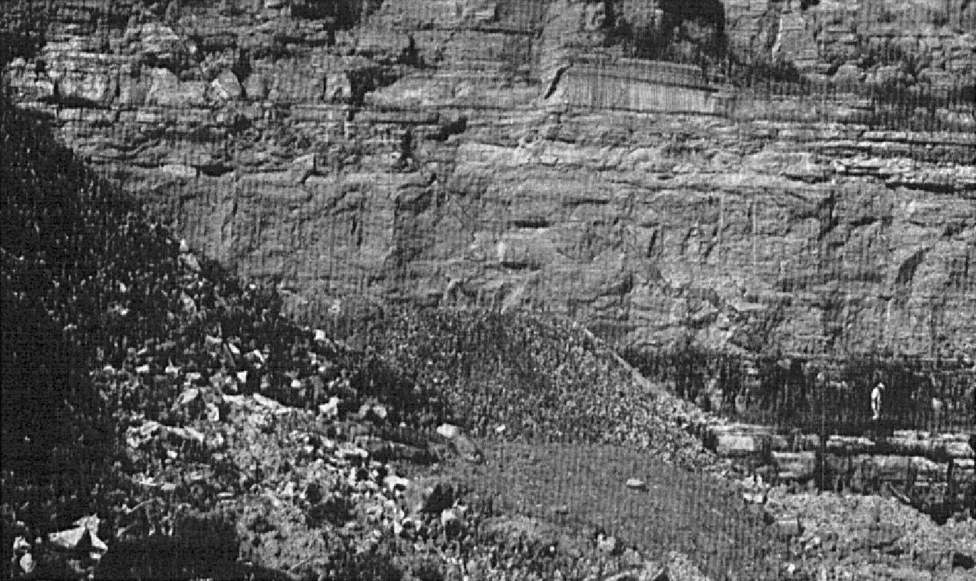
The Mile End Formation consists of fine and irregular beds (with strong internal undulations) of micritic and argillaceous limestone alternating with fine shale beds (Brun, 1974, 1975; Harland and Pickerill, 1982; Globensky, 1993; MNRF, 2009a, b). Shale and most limestone beds are moderately to highly bioturbate and have fairly homogeneous fauna. However, some limestone beds are massive or finely laminated. The type section was described in 1940 at the former Martineau Quarry, in the Mile End neighbourhood of the city of Montreal (between Garnier and Marquette streets, SE of Fleurimont Street), now filled and graded (Clark, 1972; modified from Clark, 1952):
| Montréal Formation (Saint-Michel Member) | Medium-bedded limestone, inaccessible; top of section | 3.7 m |
| Medium-bedded limestone, containing Cryptolithus | 2.7 m | |
| Thin-bedded limestone, containing Cryptolithus | 5.5 m | |
| Crystalline limestone; virtually absent fossils | 0.2 m | |
| Nodular limestone, containing Cryptolithus | 1.2 m | |
| Deschambault Formation | Crystalline bed, sparse fossils | 0.8 m |
| Thin-bedded limestone | 0.2 m | |
| Thick bed of crystalline limestone with thin (5 cm thick) beds at the top (like the 0.2 m overlying it) | 0.5 m | |
| Thin-bedded crystalline limestone | 0.9 m | |
| Crystalline limestone, in four thick beds | 1.5 m | |
| Mile End Formation | Thin-bedded nodular limestone, crystalline towards the top | 3.8 m |
| Rockland Beds | Non-fossiliferous limestone, thin and thick-bedded | 2.4 m |
From five sections (Miron Ltd. Company Quarry, Montreal; St-Vincent de Paul Quarry, St-Vincent-de-Paul; Sintra Quarry, St-Jacques; Ciments Indépendants Inc. Quarry, Joliette; Turnbull Construction Inc. Quarry, St-Thomas), Brun (1974, 1975) defined boundary stratotypes between the Ouareau, Mile End and Deschambault formations: “Ouareau-Mile End boundary: Transition from alternating small, very wavy beds of massive ‘mudstone’ limestone with calcite eyes and beds of black grey schistose argillite containing gastropods (Ouareau) to a very large ‘wakestone’ limestone bed with numerous internal discontinuous undulations (Mile End). Mile End-Deschambault boundary: Sharp transition from a very large ‘wakestone’ limestone bed with numerous internal discontinuous undulations (Mile End) to a succession of small ‘packstone’ or ‘wakestone’ limestones arranged in large undulations with shallow oblique laminations (Deschambault 1 [lower package]).”
Thickness and distribution
At the Martineau Quarry, the Mile End Formation was 3.8 m, and at the Canadian Quarry 4.9 m (Clark, 1972; Globensky, 1987, 1993). The formation is restricted to the Montreal area. It forms a strip generally oriented WNW-ESE and not more than 70 m wide that extends for about 20 km SW of Saint-Jean-sur-Richelieu (SW corner of sheet 31H06). Near Saint-Valentin, Globensky (1981) observed the Mile End Formation in drilling over thicknesses of 15 m and 231.6 m.
Dating
None.
Stratigraphic Relationship(s)
Originally, Clark (1952) correlated the Mile End Formation of the Montreal area with the Hull Formation. Harland and Pickerill (1982) add the Rockland beds to the Mile End Formation and correlate it with the Ouareau, Fontaine, Pont-Rouge and Sainte-Anne formations, as these units occupy the same stratigraphic level in the Trenton Group sequence, i.e. overlying the Black River Group and underlying the Deschambault Formation(Globensky, 1987, 1993).
Paleontology
Some shell lenses at the base of limestone beds in the Mile End Formation contain many fragments of brachiopods, bryozoans, gasteropods, ostracods and trilobites (Harland and Pickerill, 1982; Globensky, 1993). The main fossils observed are Lingula friabilis Sinclair, Lingula progne Billings, Schizambon canadensis (Ami), Strophomena sp. Wilson, Bucania ouncitrons Emmons, Phragmolites compresus Conrad, Bumastus billingsi Raymond et Narraway, Leperditella ornata Weller (Globensky, 1993).
References
Publications Available Through SIGÉOM Examine
BRUN, J. 1974. ETUDE PETROGRAPHIQUE DES FORMATIONS DU BLACK RIVER ET DU TRENTON DU QUEBEC. MRN. DP 248, 24 pages and 4 plans.
BRUN, J. 1975. ETUDE GEOLOGIQUE ET GEOCHIMIQUE DES FORMATIONS DU BLACK RIVER ET DU TRENTON DU QUEBEC. MRN. DP 296, 45 pages and 4 plans.
CLARK, T H. 1952. MONTREAL AREA, LAVAL AND LACHINE MAPS AREAS. MRN. RG 046(A), 182 pages and 4 plans.
CLARK, T H. 1952. REGION DE MONTREAL, FEUILLES DE LAVAL ET DE LACHINE. MRN. RG 046, 189 pages and 4 plans.
CLARK, T H. 1972. REGION DE MONTREAL. MRN. RG 152, 260 pages and 1 plan.
GLOBENSKY, Y. 1981. REGION DE LACOLLE – SAINT-JEAN (S). MRN. RG 197, 210 pages and 2 plans.
GLOBENSKY, Y. 1987. GEOLOGIE DES BASSES-TERRES DU SAINT-LAURENT. MRN. MM 85-02, 71 pages and 1 plan.
GLOBENSKY, Y. 1993. LEXIQUE STRATIGRAPHIQUE CANADIEN – VOLUME V-B – REGION DES APPALACHES, DES BASSES-TERRES DU SAINT-LAURENT ET DES ILES DE LA MADELEINE. MRN. DV 91-23, 336 pages.
MRNF 2009a. COMPILATION GÉOLOGIQUE, 31H06 – SAINT-JEAN-SUR-RICHELIEU. In : MRNF. 2010. CARTE(S) GÉOLOGIQUE(S) DU SIGEOM – feuillet 31h. CG SIGEOM31H, 22 plans.
MRNF 2009b. COMPILATION GÉOLOGIQUE, 31H14 – VERCHÈRES. In : MRNF. 2010. CARTE(S) GÉOLOGIQUE(S) DU SIGEOM – feuillet 31h. CG SIGEOM31H, 22 plans.
Other Publications
CLARK, T.H. 1944. Structure and stratigraphy in the vicinity of Montréal. Transactions of the Royal Society of Canada; third series, voulme 38, serie iv.
CLARK, T.H. 1959. Stratigraphy of the Trenton Group, St. Lawrence Lowlands, Quebec. Geological Association of Canada; proceedings 1959, pages 13-21.
HARLAND, T.L., PICKERILL, R.K. 1982. A review of Middle Ordovician sedimentation in the St. Lawrence Lowland, eastern Canada. Geological Journal; volume 17, pages 135-156. https://doi.org/10.1002/gj.3350170205