


Last modified:
Translation of original French
| Author: | Allard and Caty, 1969 |
| Age: | Neoarchean |
| Reference section: | None |
| Type area: | The Ramsay mineralized zone, located NW of David Lake (unit nAldg1), and a hill to the NW of Clark Lake (unit nAldg2) are easily accessible areas for the study of the granophyric zone. |
| Geological province: | Superior Province |
| Geological subdivision: | Abitibi Subprovince |
| Lithology: | Gabbro, quartz-rich granitoid |
| Type: | Lithodemic |
| Rank: | Lithodeme |
| Status: | Informal |
| Use: | Active |
Background
The unit was originally known as the « tonalite zone » by Allard and Caty (1969), followed by the « sodic granophyre zone » (Allard, 1976) and the « granophyre zone » (Daigneault and Allard, 1990). It was first included in the “Upper Series” (Daigneault and Allard, 1990); it now consists of an informal lithodeme within the Lac Doré Upper Unit (Leclerc et al., 2017).
Description
Lac Doré granophyric zone 1 (nAldg1): Quartz-Rich Granophyric Granitoid
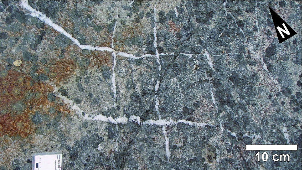
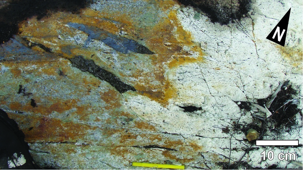
White granophyre displays very homogeneous structures and colour. Crystals range in size from 5 mm to 7 mm, but can exceed 1 cm. Plagioclase sericitization in deformation corridors highlights the presence of local bluish quartz.
Lac Doré granophyric zone 2 (nAldg2): Quartz Gabbro
To the north and west of Clark Lake, quartz becomes less abundant and granophyre gradually changes to quartz gabbro. This fine-grained leucocratic gabbro contains 1 to 5% millimetric quartz crystals.
Thickness and Distribution
The granophyric zone has been recognized on the northern flank of the Chibougamau Anticline for a distance of >53 km. On the southern flank of the same anticline, the granophyric zone outcrops for >30 km. The thickness is estimated between 150 m and 900 m (Daigneault and Allard, 1990).
Dating
A granophyre sample from the granophyric zone yielded an age of 2727 ±1.3 Ma (Mortensen, 1993).
| Isotopic System | Mineral | Crystallization Age (Ma) | (+) | (-) | Reference(s) |
| U-Pb | Zircon | 2727 | 1.3 | 1.3 | Mortensen, 1993 |
Stratigraphic Relationship(s)
Rocks of the granophyric zone are overlying those of the Lac Doré Layered Unit. They cut volcanic rocks of the Obatogamau and Waconichi formations (Roy Group‘s first volcanic cycle). They are unconformably overlain by sedimentary rocks of the Opemisca Group.
Paleontology
Does not apply.