

First published: 23 October 2020
Last modified:
DISCLAIMER: This English version is translated from the original French. In case of any discrepancy, the French version shall prevail.
| Author: | Beaudette et al., 2020 |
| Age: | Paleoproterozoic |
| Stratotype: | Reference outcrop 19-GL-2015 |
| Type area: | Parent Lake area (NTS sheet 35G11) |
| Geological province: | Churchill Province |
| Geological subdivision: | Ungava Orogen / Northern Domain |
| Lithology: | Felsic intrusive rocks |
| Category: | Lithodemic |
| Rank: | Lithodeme |
| Status: | Formal |
| Use: | Active |
None
Background
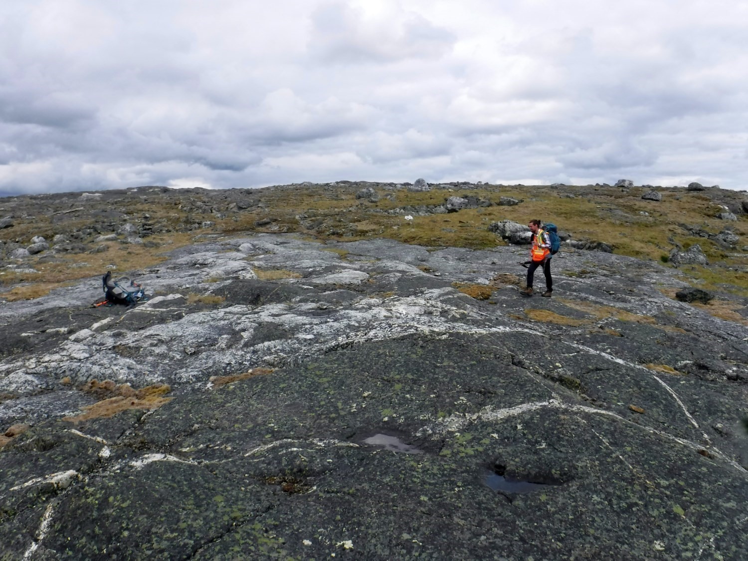
The Qikirtaliapik Granite was introduced by Beaudette et al. (2020) to individualize a granite intrusion cutting gabbros of the Qikitalialuk Suite. Granite was observed during mapping in the Parent Lake area (sheet 35G11) in the summer of 2019.
Description
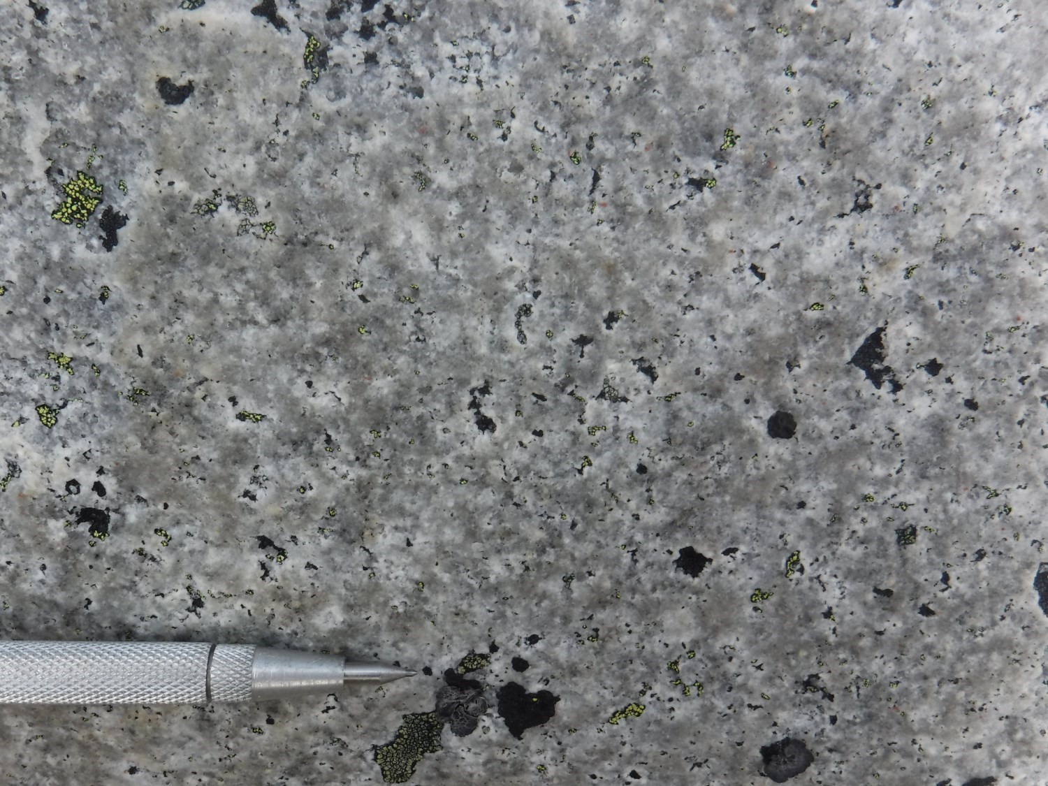
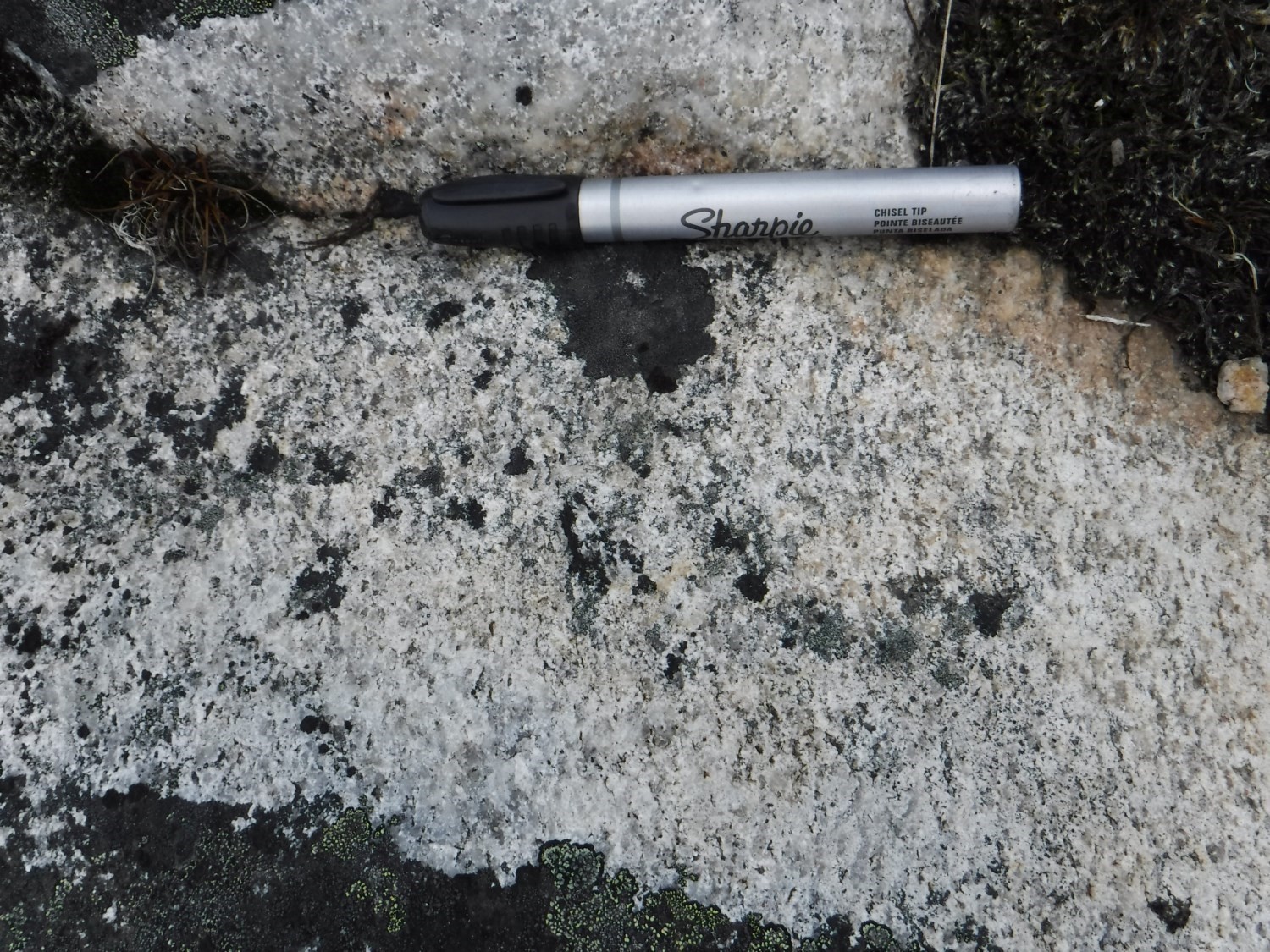
The Qikirtaliapik Granite is massive, homogeneous, hololeucocratic, white in patina and beige in fresh exposure. It is composed of 30% medium to coarse anhedral quartz, 55% medium tabular plagioclase, 12% fine interstitial K-feldspar and 3% ferromagnesian minerals represented by biotite, muscovite and euhedral garnet. Plagioclase is partially recrystallized. Where present, foliation is very weakly marked by the alignment of micas. The rock is not magnetic. Microscopic observation reveals large zones of anhedral quartz and subhedral plagioclase with fine interstitial microcline. Ferromagnesian minerals are grouped in millimetric clusters of subhedral biotite, hornblende and epidote. Hornblende has a skeletal texture with >30% rounded inclusions of very fine quartz. Trace amounts of apatite and euhedral garnet make the accessory phases. Very slight sericitization is visible in the core of the plagioclase crystals.
Thickness and Distribution
The Qikirtaliapik Granite forms a modest mass (2000 m by 650 m) with a NE-SW elongation axis and located in the NE part of sheet 35G11. Although microcline is present, this unit has very low potassium and thorium contents as seen on the SIGÉOM interactive map. A positive magnetic anomaly covers the central part of the pluton, but does not correspond to mapped boundaries. Since it is not magnetic, the unit is assumed to be thin.
Dating
A rock sample taken in sheet 35G14 was dated at 1870 ±15 Ma.
| Unit | Sample Number | Isotopic System | Mineral | Crystallization Age (Ma) | (+) | (-) | Reference(s) |
| pPqkp | SAB-Z5-84 | U-Pb | Zircon | 1970 | 15 | 15 | Parrish, 1989 |
Stratigraphic Relationship(s)
The Qikirtaliapik Granite intrudes into gabbros of the Qikitalialuk Suite. The crosscutting relationship, represented by decimetric dykes, is observed at outcrops 19-CB-1028 and 19-GL-2018. Dykes show no preferential orientation and are slightly affected by regional foliation.
Paleontology
Does not apply.
References
Publications Available Through SIGÉOM Examine
BEAUDETTE, M., BILODEAU, C., MATHIEU, G. 2020. Geology of the Parent Lake Area, Ungava Orogen, Nunavik, Quebec, Canada. MERN. BG 2020-04, 1 plan.
Other publications
Parrish, R.R., 1989. U-Pb geochronology of the Cape Smith Belt and Sugluk Block, northern Québec. Geoscience Canada; volume 16, pages 126-130. journals.lib.unb.ca/index.php/GC/article/view/3609/4123
Suggested Citation
Ministère de l’Énergie et des Ressources naturelles (MERN). Qikirtaliapik Granite. Quebec Stratigraphic Lexicon. https://gq.mines.gouv.qc.ca/lexique-stratigraphique/province-de-churchill/granite-de-qikirtaliapik_en [accessed on Day Month Year].
Contributors
|
First publication |
Guillaume Mathieu, Eng., M.Sc. guillaume.mathieu@mern.gouv.qc.ca; Carl Bilodeau, P. Geo., M.Sc. carl.bilodeau@mern.gouv.qc.ca (redaction) Mehdi A. Guemache, P. Geo., Ph.D. (coordination); James Moorhead, P. Geo., M.Sc. (critical review); Simon Auclair, P. Geo., M.Sc. (editing); Céline Dupuis, P. Geo., Ph.D. (English version); Nathalie Bouchard and Ricardo Escobar Moran (HTML editing). |