

Last modified:
Translation of original French
| Author: | Duquette, 1970 |
| Age: | Neoarchean |
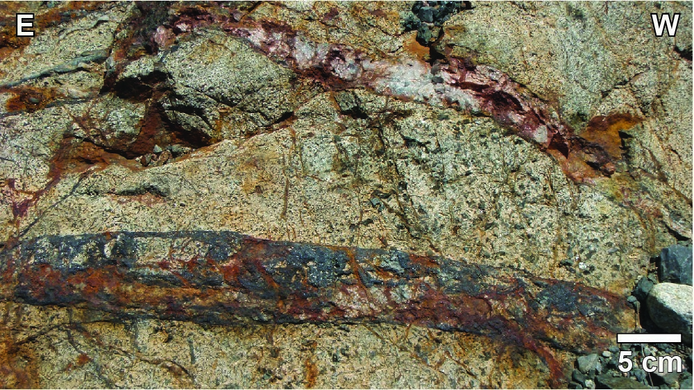
| Reference section: | The construction of Road 167 west of Cummings Lake in the early 2000s revealed a 1.5 km continuous outcrop section (UTM NAD83, zone 18 : 555395 mE, 5533658 mN). Mapping of this section refined the stratigraphy of the Cummings Intrusive Suite. Available in Bédard et al. (2009). |
| Type area: | Chibougamau area (NTS sheet 32G16) |
| Geological province: | Superior Province |
| Geological subdivision: | Abitibi Subprovince |
| Lithology: | Mafic to ultramafic intrusive rocks |
| Type: | Lithodemic |
| Rank: | Suite |
| Status: | Formal |
| Use: | Active |
- Cummings Intrusive Suite
Background
Duquette (1970) was the first to mention the Cummings Complex in its work. The Cummings Complex stratigraphy was established from underground work on the Opémiska property (McMillan, 1972), during surface mapping by Duquette (1982) and drilling in the Barlow Lake area (Poitras, 1984). Daigneault and Allard (1990) suggest modifying the original Cummings Complex name for Cummings Sills to meet the standards of the North American Stratigraphic Code (DV 86-02, sections 31 to 41). Leclerc et al. (2017) rather propose to change the name for the Cummings Intrusive Suite to include the following three formal lithodemes: (a) Roberge Sill, (b) Ventures Sill, and (c) Bourbeau Sill.
Description
The Cummings Intrusive Suite consists of three differentiated sills that always appear in the same stratigraphic order (Duquette, 1982; Poitras, 1984; Bédard et al., 2009):
The Roberge Sill (nArob) includes a pyroxenitic zone with a gabbro chilled margin, a rhythmic zone composed of dunite, werhlite and clinopyroxenite with sheared, mylonitized and serpentinized contacts and a sommital dunitic zone in direct contact with the host rock, without showing a chilled margin.
The Ventures Sill (nAven) includes a zone of dark green clinopyroxenite with mesocumulate-adcumulate texture, a zone of foliated gabbro and ophitic gabbro, and a granophyre zone. Granophyre is characterized by a dominant myrmekitic texture with a dioritic border in the first few metres.
The Bourbeau Sill (nAbou) consists of a thin layer of basal bronzite-clinopyroxene pyroxenite, overlaid by massive subophitic leucogabbro and a large amount of ferrodiorite and quartz ferrogabbro.
Thickness and Distribution
The Roberge (up to 500 m thick), Ventures (250 m to 1000 m thick) and Bourbeau (450 m to 750 m thick) sills were recognized on both sides of the Chibougamau Anticline, over a distance of more than 85 km.
Dating
A sample of quartz ferrodiorite from the Bourbeau Sill was dated 2716.7 +1.0/-0.4 Ma (Mortensen, 1993).
| Isotopic System | Mineral | Crystallization Age (Ma) | (+) | (-) | Reference(s) |
| U-Pb | Zircon | 2716.7 | 1.0 | 0.4 | Mortensen, 1993 |
Stratigraphic Relationship(s)
Rocks of the Cummings Intrusive Suite cut volcanic rocks of the Roy Group’s second volcano-sedimentary cycle (Duquette, 1970, 1982).
Paleontology
Does not apply.
References
| Author(s) | Title | Year of Publication | Hyperlink (EXAMINE or Other) |
|---|---|---|---|
| BÉDARD, J.H. – LECLERC, F. – HARRIS, L.B. – GOULET, N. | Intra-sill magmatic evolution in the Cummings Complex, Abitibi greenstone belt: Tholeiitic to calc-alkaline magmatism recorded in an Archaean subvolcanic conduit system. Lithos; volume 111, pages 47-71. | 2009 | Source |
| DAIGNEAULT, R. – ALLARD, G.O. | Le Complexe du lac Doré et son environnement géologique (région de Chibougamau – Sous-province de l’Abitibi). Ministère de l’Énergie et des Ressources, Québec; MM 89-03, 275 pages. | 1990 | MM 89-03 |
| DUQUETTE, G. | Stratigraphie de l’Archéen et relations métallogéniques dans la région de Chibougamau. Ministère des Richesses naturelles, Québec; ES-008, 18 pages, 1 plan. | 1970 | ES-008 |
| DUQUETTE, G. | Demie nord des cantons de McKenzie et de Roy et Quart nord-ouest du canton de McCorkill – Rapport final. Ministère de l’Énergie et des Ressources, Québec; DPV-837, 80 pages, 4 plans. | 1982 | DPV-837 |
| LECLERC, F. – ROY, P. – HOULE, P. – PILOTE, P. – BÉDARD, J.H. – HARRIS, L. B. – McNICOLL, V. J., VAN BREEMEN, O. – DAVID, J. – GOULET, N. | Géologie de la région de Chibougamau. Ministère de l’Énergie et des Ressources naturelles, Québec; RG 2015-03, 97 pages, 3 plans. | 2017 | RG 2015-03 |
| MCMILAN, R.H. | Petrology, geochemistry and wallrock alteration at Opemiska – A vein copper deposit crosscutting a layered Archean ultramafic sill. Université Western Ontario; thèse de doctorat, 169 pages. | 1972 | – |
| MORTENSEN, J.K. | U-Pb geochronology of the eastern Abitibi subprovince. Part 1: Chibougamau – Matagami – Joutel region. Canadian Journal of Earth Sciences; volume 30, pages 11-28. | 1993 | Source |
| MINISTÈRE DE L’ÉNERGIE ET DES RESSOURCES | Code stratigraphique nord-américain. Ministère de l’Énergie et des Ressources, Québec; DV 86-02, 58 pages. | 1986 | DV 86-02 |
| POITRAS, A. | Caractérisation géochimique du Complexe de Cummings, région de Chibougamau-Chapais, Québec. Université du Québec à Montréal ; thèse de maîtrise, 159 pages. | 1984 | – |