

Last modified: 30 March 2022
DISCLAIMER: This English version is translated from the original French. In case of any discrepancy, the French version shall prevail.
| Author(s): | Norman, 1937 |
| Age: | Neoarchean |
| Stratotype: | None |
| Type area: | The best outcrop areas are located in the western part of sheet 32G15-200-0102 (Stella Formation) and in the central part of sheet 32G14-200-0102 (Haüy Formation) |
| Geological province: | Superior Province |
| Geological subdivision: | Abitibi Subprovince |
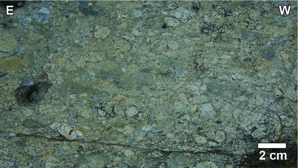
| Lithology: | Sedimentary rocks and potassic basalt |
| Category: | Lithostratigraphic |
| Rank: | Group |
| Status: | Formal |
| Use: | Active |
- Opémisca Group
- Chebistuan Formation
- Haüy Formation
- Dolomieu Member
- Pantoufle Member
- Gribouille Member
- Christian Member
- Vanina Member
- Daubrée Formation
- La Trêve Formation
- Caopatina Formation
- Messine Formation
- Stella Formation
Background
The Opemisca Group was originally designated by Norman (1937, 1941a,b) as the “Opemisca Series”. Rejecting the idea of a discordance in Neoarchean rocks, Duquette (1970) grouped all sedimentary rocks in the region into the Blondeau Formation. During mapping of the Queylus Township, Cimon (1976) reintroduced the concept of a discordance separating units from the Roy and Opémisca groups.
Description
The Opemisca Group consists of conglomerate, arenite, wacke and mudrock interstratified with lenses of andesitic and trachytic volcanic rocks (Picard and Piboule, 1986b). It includes, from base to top: (a) the Stella Formation; (b) the La Trêve Formation, located west of Chapais, which is the lateral stratigraphic equivalent of the coarser part of the Stella Formation (Charbonneau et al., 1991); (c) the Daubrée Formation, also west of Chapais, which is the lateral stratigraphic equivalent of the finest part of the Stella Formation (Charbonneau et al., 1991); (d) the Haüy Formation; and (e) the Chebistuan Formation, which is a stratigraphic equivalent of the Stella and Haüy formations in the Waconichi Syncline basin north of the Chibougamau Anticline.
Thickness and Distribution
The Opémisca Group is located along the Chapais and Waconichi synclines (Daigneault and Allard, 1990). Its estimated total thickness in the Chapais Syncline is between 3 and 4 km (Mueller and Donaldson, 1992). Northwest of Chapais, rocks of the Opémisca Group also appear in a syncline structural basin cut by the NE-SW reverse-sinistral Lamarck Shear Zone.
Dating
A sample of polymictic conglomerate collected east of Laura Lake in the Chapais area (NTS sheet 32G10) determined a maximum sedimentation age (U-Pb on zircon) for the Stella Formation at <2704 ±2 Ma (Leclerc et al., 2012). A sample of polymictic conglomerate collected south of Chapais determined the maximum sedimentation age for the Gribouille Member at <2691.7 ±2.9 Ma (David et al., 2007).
Stratigraphic Relationship(s)
The contact at the base of the Opémisca Group sedimentary rocks is generally characterized by an angular discordance with underlying volcanic rocks of the Roy Group (Cimon, 1976; Caty, 1978; Simoneau, 1986). However, sedimentary rocks of the Bordeleau Formation in the Waconichi Syncline are locally a transitional unit between the two groups (Caty, 1979; Dimroth et al., 1983). The summit portion of the Opémisca Group is cut by the Kapunapotagen Shear Zone (steep dip, reverse movement from south to north) at the axial trace of the Chapais Syncline, which contrasts with the northward polarity of Roy Group rocks and the southward polarity of Opémisca Group rocks. This structural relationship (Charbonneau et al., 1991, Figure 34) is also recognized in the Chapais area (Morin, 1994; Leclerc et al., 2010) and in the Chibougamau area up to the Grenville Front (Daigneault and Allard, 1990, Figure 160).
Paleontology
Does not apply.
References
Publications available through SIGÉOM Examine
CATY, J. L., 1978. Rapport intérimaire, canton de Richardson, comté d'Abitibi-Est. MRN; DP 606, 38 pages, 1 plan.
CATY, J. L., 1979. GEOLOGIE DE LA DEMIE OUEST DU CANTON DE BIGNELL (COMTE D'ABITIBI-EST). MRN; DPV 678, 30 pages, 1 plan.
CHARBONNEAU, J. M., PICARD, C., DUPUIS-HEBERT, L., 1991. SYNTHESE GEOLOGIQUE DE LA REGION DE CHAPAIS-BRANSSAT (ABITIBI). MRN; MM 88-01, 202 pages, 13 plans.
CIMON, J., 1976. GEOLOGIE DU CANTON DE QUEYLUS (NE), ABITIBI-EST. MRN; DPV 439, 38 pages, 1 plan.
DAIGNEAULT, R., ALLARD, G. O., 1990. LE COMPLEXE DU LAC DORE ET SON ENVIRONNEMENT GEOLOGIQUE - REGION DE CHIBOUGAMAU - SOUS-PROVINCE DE L'ABITIBI. IREM-MERI; MM 89-03, 290 pages.
DAVID, J., DAVIS, D. W., DION, C., GOUTIER, J., LEGAULT, M., ROY, P., 2007. Datations U-Pb effectuées dans la Sous-province de l'Abitibi en 2005-2006. MRNF; RP 2007-01, 17 pages.
DIMROTH, E., MUELLER, W., ROCHELEAU, M., ARCHER, P., JUTRAS, M., PICHÉ, M., SIMONEAU, P., CARIGNAN, J., CHOWN, E.H., GUHA, J., GOULET, N., ALLARD, G.O., FRANCONI, A., GOBEIL, A. 1983. Stratigraphie et évolution du bassin de transition entre les groupes de Roy et d'Opémisca, région de Chibougamau-Chapais. In : Stratigraphie des ensembles volcano-sédimentaires archéens de l'Abitibi : état des connaissances. MERN; DV 83-11, 182 pages, 2 plans.
Other publications
LECLERC, F., HARRIS, L.B., BÉDARD, J.H., VAN BREEMEN, O., GOULET, N., 2012. Structural and stratigraphic controls on magmatic, volcanogenic and syn-tectonic mineralization in the Chapais-Chibougamau mining camp, northeastern Abitibi, Canada. Economic Geology; volume 107, pages 963-989. https://doi.org/10.2113/econgeo.107.5.963
MUELLER, W., DONALDSON, J.A., 1992. Development of sedimentary basins in the Archean Abitibi belt, Canada: an overview. Canadian Journal of Earth Sciences; volume 29, pages 2249-2265. https://doi.org/10.1139/e92-177
NORMAN, G.W.H., 1937. East half Opemiska map area, Quebec. Commission géologique du Canada; Études 37-11, 27 pages, 1 plan. https://doi.org/10.4095/101140
NORMAN, G.W.H., 1941a. Opemiska, West Half, Abitibi Territory, Québec. Commission géologique du Canada; carte 602A, échelle 1/63 360. https://doi.org/10.4095/107687
NORMAN, G.W.H., 1941b. Opemiska, East Half, Abitibi Territory . Commission géologique du Canada; carte 401A, échelle 1/63 360. https://doi.org/10.4095/107693
SIMONEAU, P., 1986. Pétrologie, sédimentologie et analyse des faciès de la Formation de Daubrée, Chapais, Québec. Université du Québec à Chicoutimi; mémoire de maîtrise, 486 pages, 1 plan. https://constellation.uqac.ca/1716
Suggested Citation
Ministère de l’Énergie et des Ressources naturelles (MERN). Opémisca Group. Quebec Stratigraphic Lexicon. https://gq.mines.gouv.qc.ca/lexique-stratigraphique/province-du-superieur/groupe-opemisca_en [accessed on Day Month Year].
Contributors
|
First publication |
François Leclerc, P. Geo., Ph.D. françois.leclerc@mern.gouv.qc.ca (redaction) Mehdi A. Guemache, P. Geo., Ph.D. (coordination); Simon Auclair, P. Geo., M.Sc. (critical review and editing); Céline Dupuis, P. Geo., Ph.D. (English version); Marie-Ève Lagacé (HTML editing). |