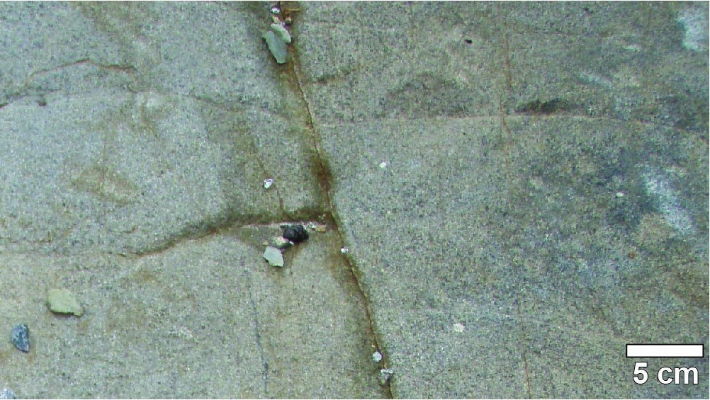
| Author: | Charbonneau et al., 1991 |
| Age: | Proterozoic |
| Reference section: | None |
| Type area: | NW of Chapais, NTS sheets 32G14-200-0201 and 32 J03-200-0102 |
| Geological province: | Superior Province |
| Geological subdivision: | Abitibi and Opatica subprovinces |
| Lithology: | Diabase |
| Type: | Lithodemic |
| Rank: | Lithodeme |
| Status: | Formal |
| Use: | Active |
None
Background
The Poudingue dyke was initially recognized by MacIntosh (1977) and informally named by Charbonneau et al. (1991). Since then, other dykes with the same orientation and located in the same area have been assigned to this swarm (Leclerc and Daoudene, in preparation).
Description
The Poudingue dykes consist of medium-grained gabbro that form linear hills resistant to erosion. Thin-section samples of MacIntosh (1977, p. 86) are composed of 50% clinopyroxene, 40% labradorite, 5 to 10% opaque minerals, 1% leucoxene, 5% amphibole, and 1 to 5% quartz. Plagioclase is saussuritized and clinopyroxene is chloritized and amphibolized.
Thickness and distribution
The Poudingue dykes correspond to positive NNW-SSE oriented magnetic anomalies on a total residual magnetic field map (Keating and d’Amours, 2010). The thickness is estimated at 100 m (Charbonneau et al., 1991).
Dating
None.
Stratigraphic Relationship(s)
The Poudingue dykes cut volcano-sedimentary rocks of the Roy and Opémisca groups. They also cut the Eau Noire, Moraine, Deux Granites and Guettard stocks, as well as the Abitibi Dykes. It would therefore be the youngest dykes identified in the area northwest of Chapais.
Paleontology
Does not apply.
References
| Author(s) | Title | Year of Publication | Hyperlink (EXAMINE or Other) |
|---|---|---|---|
| CHARBONNEAU, J.-M. – PICARD, C. – DUPUIS-HÉBERT, L. | Synthèse géologique de la région de Chapais-Branssat (Abitibi). Ministère de l’Énergie et des Ressources, Québec; MM 88-01, 200 pages, 13 maps. | 1991 | MM 88-01 |
| KEATING, P. – D’AMOURS, I. | Réédition des données numériques en format Géosoft (profils) des levés aéroportés de l’Abitibi, au Québec. Ministère des Ressources naturelles et de la Faune, Québec; DP 2010-09, 6 pages. | 2010 | DP 2010-09 |
| LECLERC, F. – DAOUDENE, Y. | Levé géologique dans la Sous-province de l’Abitibi à l’ouest de Chapais (région du lac des Deux Orignaux). Ministère de l’Énergie et des Ressources naturelles, Québec. | In preparation | Bulletin géologiQUE |
| MACINTOSH, J.A. | Geology of the Lantagnac – La Touche (comté d’Abitibi-Est). Ministère des Richesses naturelles, Québec; DPV 497, 131 pages, 1 map. |
1977 | DPV 497 |

