
Surficial Landforms
The surface morphologies theme includes geomorphological features that characterize the territory. These features describe landforms, sediments or locations where specific data have been collected in the field. They are represented on surficial maps as a polygon, line or point and are superimposed on morphosedimentological areas. Surface morphologies are divided into several categories reflecting their origin (e.g. glacial landforms, alluvial landforms, etc.).
The list of symbols is also available in PDF format.
Anthropogenic Landforms (ANT)
-
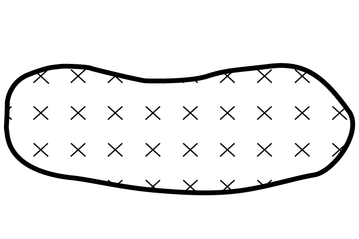
 AGRPolygon
 -
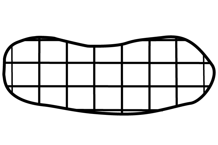
 EDPolygon
 -
 GSAPoint
 -
 GSPoint
 -
 GSGPolygon
 -
 MCAPoint
 -
 MCPoint
 -
 MCGPolygon
 -
 RMPolygon
 -
 TEPolygon
 -
 ZRPolygon
Aeolian Landforms (EOL)
-
 DUNELine
 -
 FENDLine
Slope Landforms (VER)
-
 CGTLine
 -
 CNAPoint
 -
 CEPoint
 -
 CDPoint
 -
 CLALine
 -
 GPPoint
 -
 TEPoint
 -
 ZGPolygon
 -
 ASPolygon
Periglacial Landforms (PER)
-
 LABLine
 -
 CBLPolygon
 -
 DTPoint
 -
 FEPoint
 -
 GRPoint
 -
 LPERLine
 -
 LGLine
 -
 OSTPoint
 -
 BCPoint
 -
 PINGPoint
 -
 PINRPoint
 -
 SPPoint
 -
 SOSLine
 -
 SSTPolygon
 -
 THUPoint
Alluvial Landforms (ALL)
-
 CCLine
 -
 CFEILine
 -
 CAPoint
 -
 CGLLine
 -
 BALine
 -
 RMLine
 -
 RRLine
 -
 TFLine
(Glacio)lacustrine or (Glacio)marine Landforms (LAC)
-
 CDLPLine
 -
 CDGPoint
 -
 CPLine
 -
 DINDPoint
 -
 DPPoint
 -
 FLITLine
 -
 GEGLine
 -
 LDELLine
 -
 LGLACLine
 -
 LGMARLine
 -
 LLLine
 -
 LMLine
 -
 PBLOLine
 -
 RTLine
 -
 RTLLine
 -
 RTMLine
 -
 SFPoint
 -
 TOMBLine
 -
 TSILine
Glaciofluvial Landforms (FLU)
-
 CBDPoint
 -
 CFICLine
 -
 CFIILine
 -
 CJLine
 -
 CHELDLine
 -
 CHELGLine
 -
 CHEMLine
 -
 CPPolygon
 -
 CPPLine
 -
 DJPoint
 -
 PDRALine
 -
 ECLine
 -
 EILine
 -
 EELine
 -
 EEILine
 -
 ERCLine
 -
 ERILine
 -
 GKLine
 -
 KPoint
 -
 PCSGLine
 -
 PCSGILine
 -
 PKPoint
 -
 RCEFLine
 -
 GCSGLine
 -
 RGCPLine
 -
 RENPoint
 -
 TJLine
Glacial Landforms (GLA)
-
 AGLine
 -
 CGGLine
 -
 CIGLine
 -
 CMMALine
 -
 CMMILine
 -
 CREVLine
 -
 DEGCLine
 -
 DEGILine
 -
 DULine
 -
 DRUELine
 -
 DRLine
 -
 DROELine
 -
 LPGALine
 -
 LPGDLine
 -
 LCGLine
 -
 LGLLine
 -
 MBPoint
 -
 MRLine
 -
 MDLine
 -
 MGLine
 -
 RGLLine
 -
 SFTCPoint
 -
 SFTIPoint
 -
 TMFLine
 -
 TMDLine
Bedrock Landforms (SOC)
-
 ARIPoint
 -
 ARPPoint
 -
 DAGPolygon
 -
 DAPoint
 -
 DLRLine
 -
 DOLPoint
 -
 DRPLine
 -
 RERLine
 -
 REGPoint
 -
 TORPoint
 -
 ZRGPolygon