
WORK METHOD
Surveys in Forest Areas Served by a Network of Secondary Roads
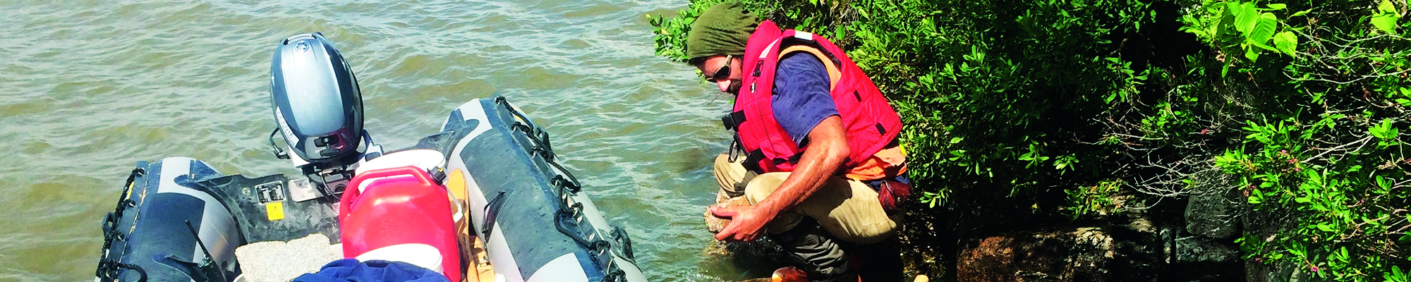
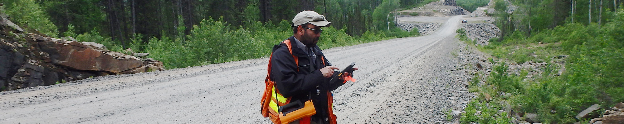

The mapped area was covered using the method established for a forest area served by a network of secondary roads. The geological mapping work was carried out by working teams consisting of a geologist or a geologist in training and a student. Access to most of the territory is made possible by a network of logging roads and lakes accessible by truck, motorquad or boat. Areas without logging roads have been subjected to walking transects approximately 4 km long and spaced 1 to 2 km apart, as well as spot stops by helicopter.
Outcrops are described using electronic tablets to capture field data in the “Geofiches” module (see MB 98-05 and DV 2013-07 documents). Data is then integrated into the SIGÉOM database. To better characterize geological units, representative samples are analyzed using the following techniques:
- Petrographic description of thin sections (covered and polished) to characterize mineral assemblages and textures of rock units;
- Lithogeochemical analyses for major, minor, trace and rare earth elements to define the composition and characterize the geochemical signature of units. Mineralized samples are analyzed for metals of economic interest in order to enhance the mineral potential of the sector;
- Sodium cobaltinitrite staining of the sawed-off surface of sedimentary, igneous or metamorphic rock samples to estimate the modal proportions of plagioclase, K-feldspar and quartz. Estimation of modal proportions is done by eye or by image analysis (see method described in RG 2001-15);
- Geochronological analyses of uranium and lead isotopes from zircons, monazites, baddeleyites or titanites to determine the ages of inheritance, crystallization, deposition or metamorphism of units.
The stratigraphic nomenclature of the mapped area meets the standards of the North American Stratigraphic Code (DV 86-02, MNR, 1986; North American Commission on Stratigraphic Nomenclature, 2005; Easton, 2009) and the already-established nomenclature. Units were defined in terms of rock composition, age, cross-cutting relationships, structures and textures, and regional distribution.
Geochemical analysis results of rock samples of economic interest
The table of lithogeochemical analyses of samples of economic interest presents the analytical results of mineralized rock samples collected during the Ministère‘s yearly geological mapping campaigns across Quebec for elements of economic interest. Mineralized sites with values exceeding “showing” thresholds are subject to a “Mineralization record” in the metallic deposit module of the Quebec Geomining Information System (SIGÉOM). “Anomalous” and “significant” thresholds highlight samples below showing threshold, but sufficiently high to be of interest for mineral exploration.
The sequential number in the first column links to the corresponding analysis in the SIGÉOM database. A hyperlink is also provided to the interactive map to locate the analytical result in question.
The “complete” display, under “Display Format” in the left-hand panel, lists all the analyses and elements available in the area of interest.