

Last modified:
Translation of original French
| Author: | Brisson et al., 1998 |
| Age: | Precambrian / Archean / Neoarchean |
| Reference section: | |
| Type area: | The Nipukatasi Massif is located east of Rocher Lake, at the southern limit of the Frotet-Evans Volcano-sedimentary Belt and south of the Lucky Strike Shear Corridor (NTS sheets 32K08, 32K09, 32J12). Most outcrops characterizing the unit are located in the area between Rocher and Amisquioumisca lakes. |
| Geological province: | Superior Province |
| Geological subdivision: | Opatica Subprovince |
| Lithology: | Monzodiorite, quartz monzodiorite and biotite ± hornblende granite |
| Unit type: | Lithodemic |
| Rank: | Lithodeme |
| Status: | Formal |
| Use: | Active |
- None
-
Background
The Nipukatasi Massif is mentioned for the first time by Brisson et al. (1998) in the Rocher Lake geology report (NTS sheet 32K09). The unit had previously been recognized by Franconi (1974) who mentioned the presence of granites and alaskites, without naming it.
Description
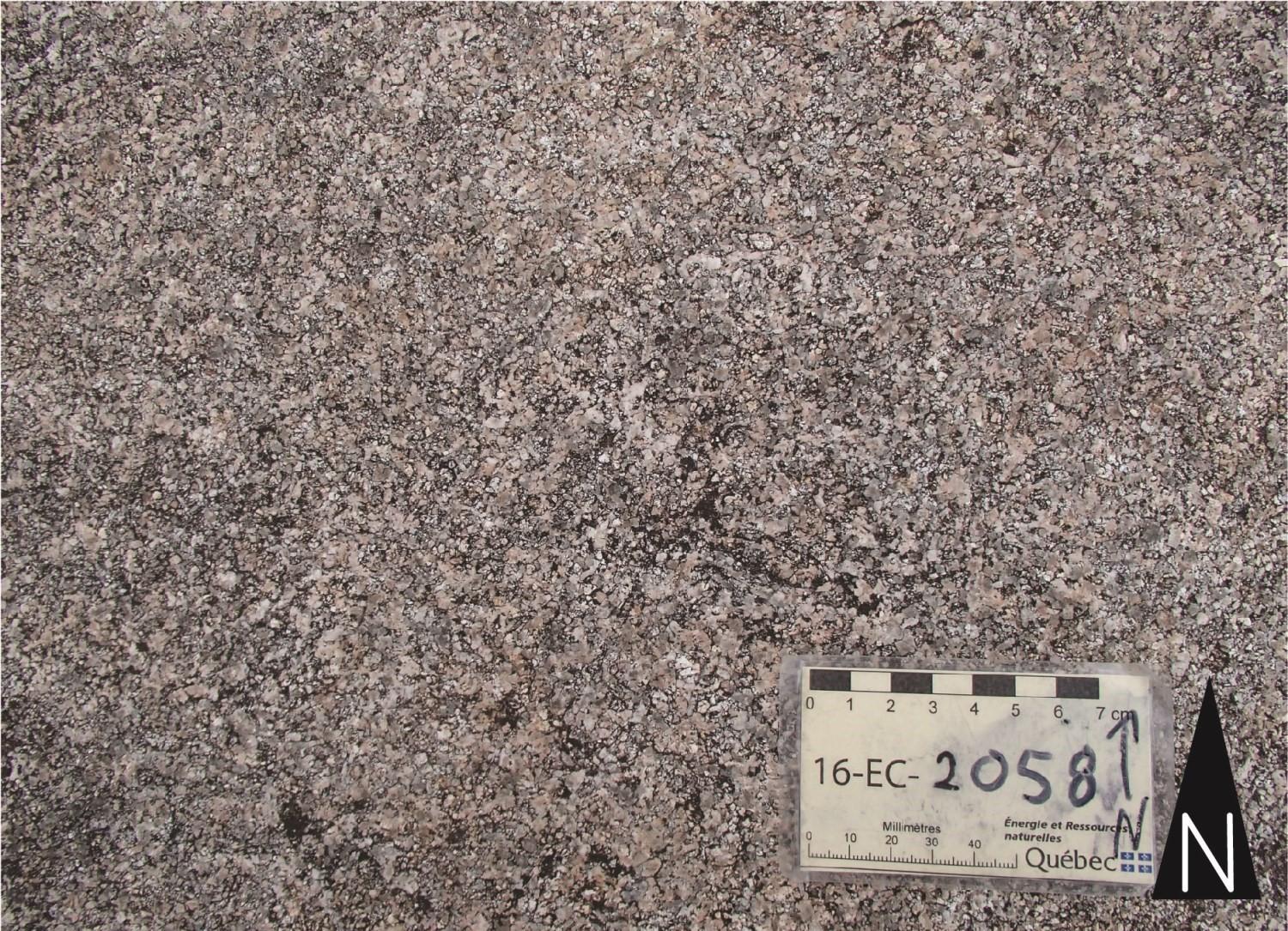
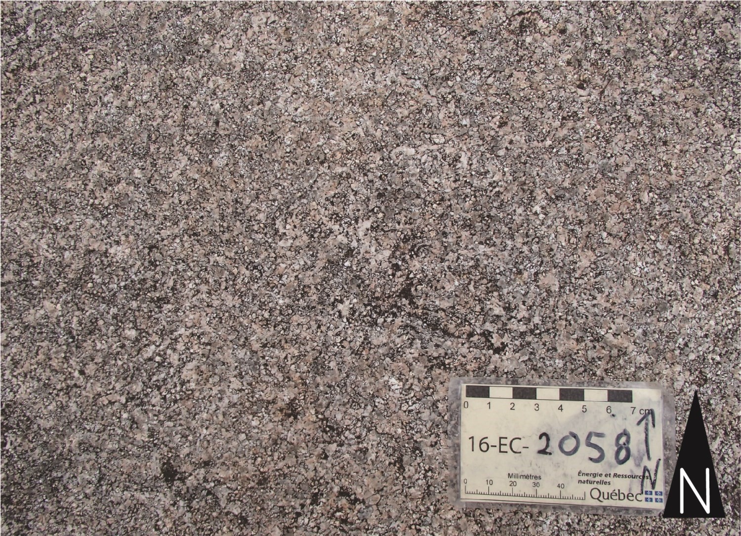 The Nipukatasi Massif consists essentially of monzodiorite, quartz monzodiorite, and biotite ± hornblende granite. The rock is medium to coarse-grained, massive and homogeneous in appearance. The color varies from light beige-pink in altered surface to medium gray-pink in fresh exposure. The size of albitized plagioclase crystals commonly exceeds 5 mm, which gives the rock an inequigranular texture. Quartz is scarce in monzodiorites and quartz monzodiorites where it is interstitial to feldspar crystals. Ferromagnesian minerals include biotite (5 to 10%) and hornblende (less than 1%, often in clusters). Muscovite is present in accessory amounts. The egde area of the Nipukatasi Massif includes xenoliths of dioritic gneiss attributed to the Chensagi Suite (nAchg), as well as xenoliths of migmatitized paragneiss (nAroc1) and amphibolite (nAroc2) attributed to the Rocher Complex.
Thickness and distribution
The Nipukatasi Massif extends over a maximum length of 40 km along an ENE-WSW axis and a maximum width of 18 km along an NNW-SSE axis (NTS sheets 32K08, 32K09 and 32J12). The unit covers an area of about 500 km2.
Dating
A granite sample from the Nipukatasi Massif did not contain zircon (Bandyayera and Sharma 2001).
Stratigraphic Relationship(s)
The Nipukatasi Massif is hosted by volcano-sedimentary rocks of the Rocher Complex (nAroc) and dioritic gneisses of the Chensagi Suite (nAchg). On its edge, it includes many xenoliths of these lithologies. East of Rocher Lake, the contact of the Nipukatasi Massif with the Rocher Complex is characterized by two types of discordant intrusions in amphibolite: a) intrusions of leucocratic monzodiorite isoclinally folded and cut by regional foliation, and b) inequigranular granite intrusions affected by hematite alteration that cut regional foliation. Crosscutting relationships between monzodiorite and granite intrusions, host amphibolite and regional foliation suggest a syn-tectonic to late-tectonic emplacement.
Paleontology
Does not apply.
References