Geoscience Map Symbols and Abbreviations
The Quebec Geomining Information System (SiGÉOM) uses numerous symbols and abbreviations to illustrate and describe the various geometric elements presented in:
- the interactive map;
- the Web Map Services;
- geological maps published in the Bulletin géologiQUE and Bulletin Quaternaire.
Symbols and abbreviations used in the SIGÉOM databases are grouped under different geoscientific themes. Each theme provides users with an overview of the characteristics and rules used by Géologie Québec for the cartographic representation of the various geometric elements.
The information on this site is updated as changes are made to the database and new feature layers are added to the SIGÉOM. It replaces information in previous publications such as PRO 2000-08 and DV 2014-06. This site also includes several elements of the General Geological Map Legend (MB 96-28).

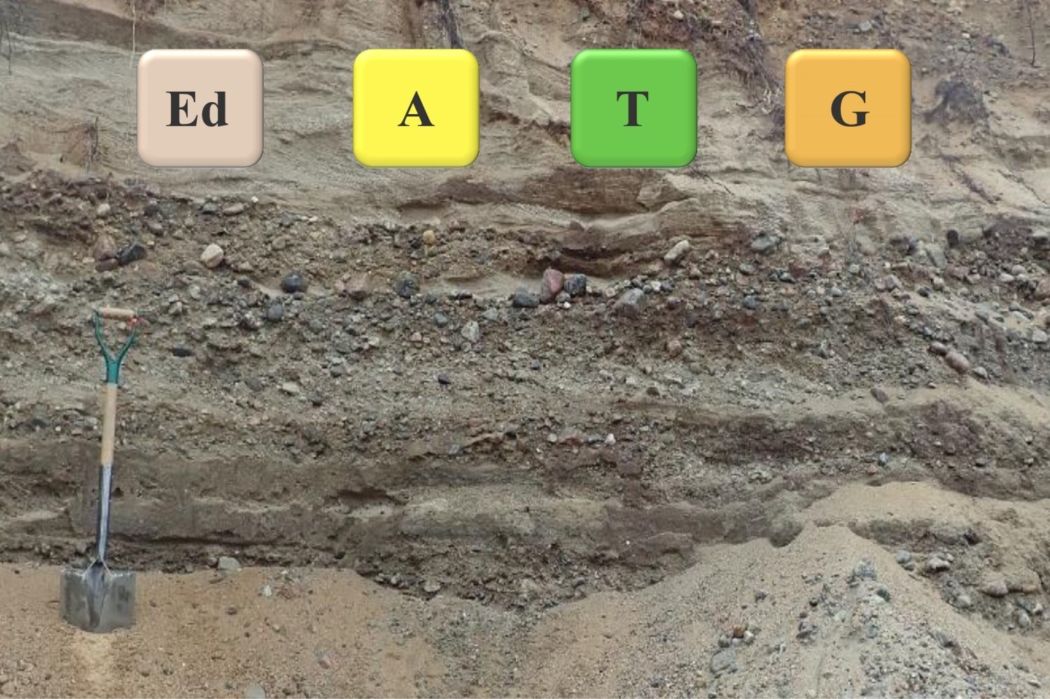
Quaternary geology
21 June 2021
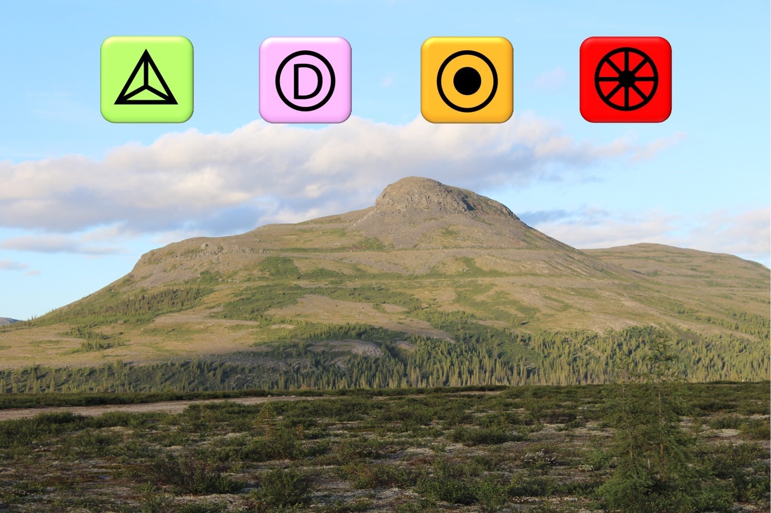
Morphosedimentological zone
21 June 2021
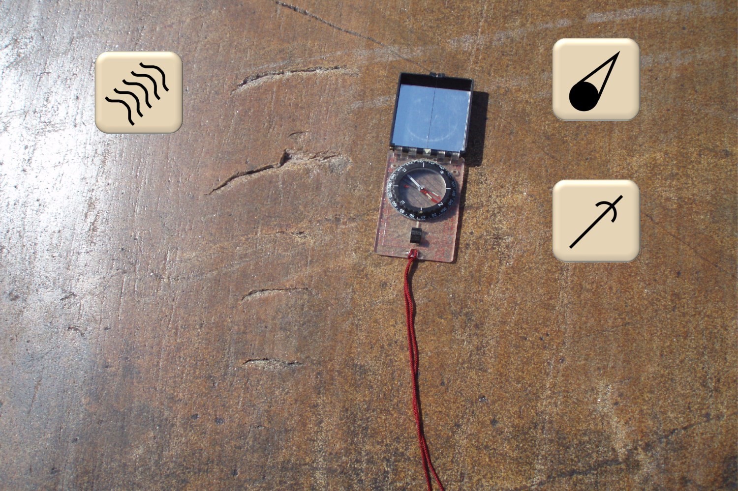
Surficial landforms
21 June 2021
Glacial Erosional Forms
21 June 2021
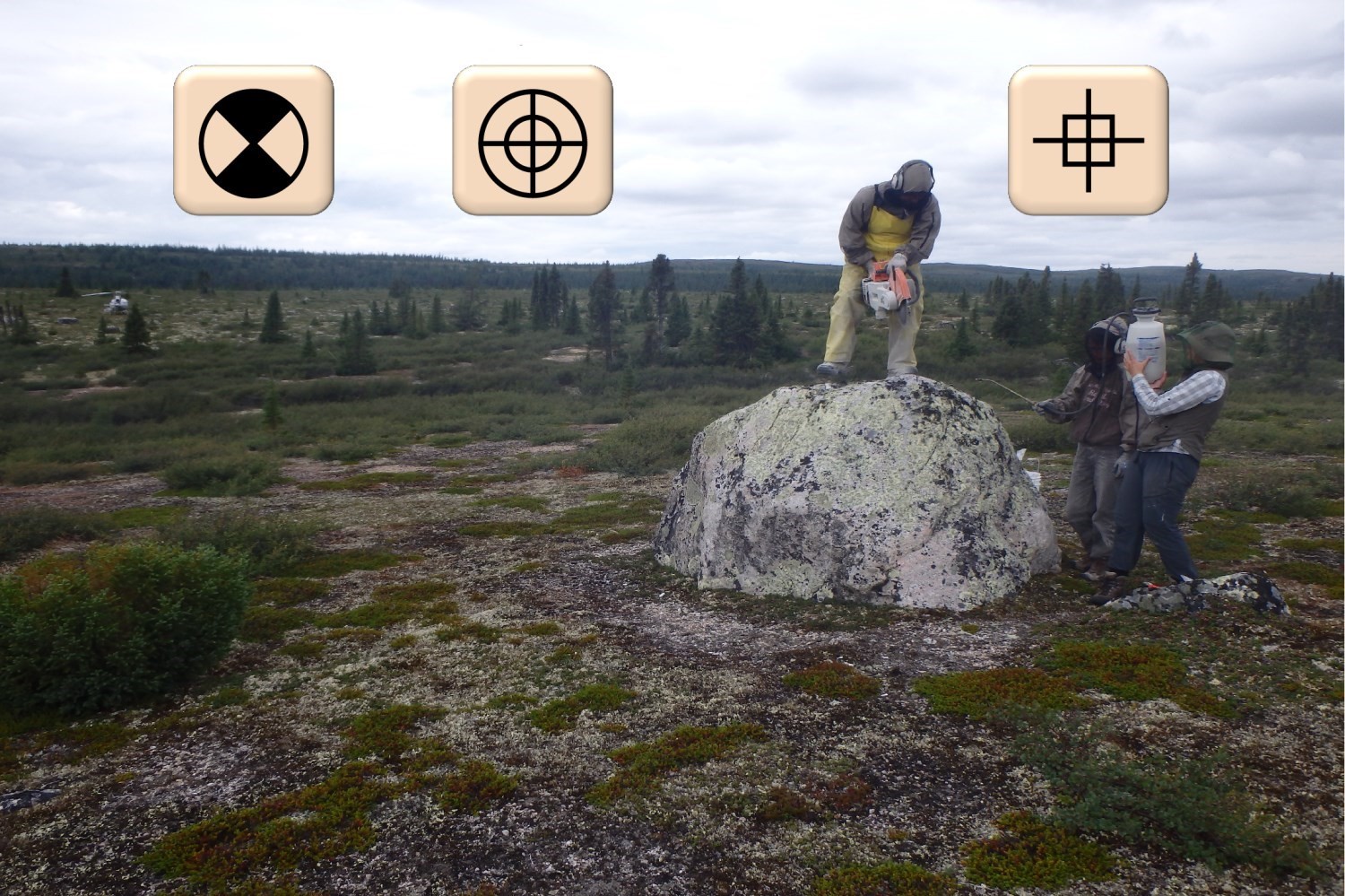
Erratic Blocks
21 June 2021