

Last modified:
Translation of original French
| Author: | Gilbert, 1958 |
| Age: | Neoarchean |
| Reference section: | None |
| Type area: | Sheet 32I04-200-0101 |
| Geological province: | Superior Province |
| Geological subdivision: | Abitibi Subprovince |
| Lithology: | Monzodiorite and quartz diorite |
| Type: | Lithodemic |
| Rank: | Lithodeme |
| Status: | Formal |
| Use: | Active |
None
Background
The France Pluton was first recognized as a biotite granite by Gilbert (1958) when mapping the Bignell area. It was described as a granodioritic pluton by Lacoste (1982) and Duquette (1982). Finally, Caty (1979) and Morin (1999) obtained a composition ranging from monzodiorite to quartz diorite.
Description
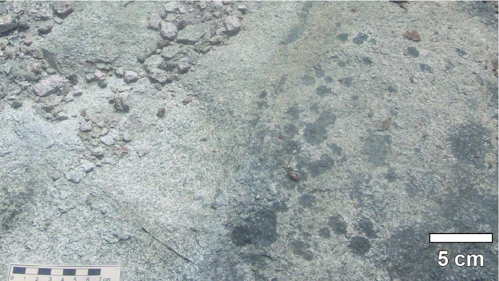
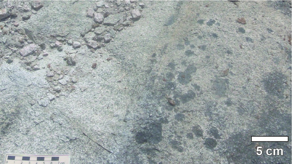
According to Morin (1999, p. 17): “This pluton is fine grained and fairly homogeneous and has a composition varying from monzodiorite to quartz diorite (Afra). The rock is salmon pink with a greenish shade. It contains 15-20% quartz, 15-20% K-feldspar, 50–55% plagioclase and less than 10% biotite. The France Pluton contains many xenoliths of mafic to ultramafic rocks, one of which, in the eastern part of the pluton, is 1.5 km long and 0.75 km wide. North of the France Pluton, small syenite (I2D) and quartz monzonite (I2E) lenses were observed. These could be satellite masses of this pluton.”
Thickness and Distribution
The France Pluton covers an area of 10 km by 6 km (Morin, 1999).
Dating
None.
Stratigraphic Relationship(s)
The France Pluton cuts mafic volcanic rocks of the Bruneau Formation (dated 2724.4 ±1.2 Ma; Davis et al., 2014) and volcano-sedimentary rocks of the Blondeau Formation (dated <2721 ±3 Ma; Leclerc et al., 2012). It is limited to the east by the NNE-SSW-oriented Mistassini Fault, which allows for the juxtaposition of mafic volcanic amphibolitized rocks (equivalent to the Bruneau Formation and Duberger Pluton).
Paleontology
Does not apply.
References
| Author(s) | Title | Year of Publication | Hyperlink (EXAMINE or Other) |
|---|---|---|---|
| CATY, J.L. | Géologie de la demie ouest du canton de Bignell (comté d’Abitibi-Est). Ministère de l’Énergie et des Ressources, Québec; DPV-678, 22 pages, 1 plan. | 1979 | DPV 678 |
| DUQUETTE, G. | Demie nord des cantons de McKenzie et de Roy et Quart nord-ouest du canton de McCorkill. Ministère de l’Énergie et des Ressources, Québec; DPV-837, 80 pages, 4 plans. | 1982 | DPV 837 |
| LACOSTE, P. | Demie est du canton de Bignell, comté d’Abitibi-Est. Ministère de l’Énergie et des Ressources, Québec; DPV 893, 30 pages, 1 plan. | 1982 | DPV 893 |
| GILBERT, J.E. | Région de Bignell, territoires de Mistassini et d’Abitibi, district éléctoraux d’Abitibi-Est et de Roberval. Ministère des mines, service des gîtes minéraux, Québec; RG-79, 43 pages, 1 plan. | 1958 | RG 079 |
| LECLERC, F. – HARRIS, L.B. – BÉDARD, J.H. – VAN BREEMEN, O. – GOULET, N. | Structural and stratigraphic controls on magmatic, volcanogenic and syn-tectonic mineralization in the Chapais-Chibougamau mining camp, northeastern Abitibi, Canada. Economic Geology; volume 107, pages 963–989. | 2012 | Source |
| MORIN, R. | Géologie de la région du lac des Canots (32I04). Ministère des Ressources naturelles, Québec; RG 99-01, 33 pages, 4 plans. | 1999 | RG 99-01 |