

Last modified:
Translation of original French
| Author: | Boudreault, 1977 |
| Age: | Neoarchean |
| Reference section: | None |
| Type area: | In the Southern Sauvage Lake area (western portion of sheet 32J01-200-0101) along a logging road (UTM NAD83, zone 18, 540684 mE, 5547651 mN). |
| Geological province: | Superior Province |
| Geological subdivision: | Abitibi Subprovince |
| Lithology: | Granodiorite, monzonite |
| Type: | Lithodemic |
| Rank: | Lithodeme |
| Status: | Formal |
| Use: | Active |
None
Background
The Chevrillon Pluton was first described by Sabourin (1956) and named in Boudreault’s (1977) report describing the eastern part of the Blaiklock Township.
Description

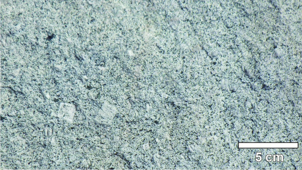
Granodiorite and monzonite are massive and whitish to whitish pink. They are characterized by the presence of centimetric zoned K-feldspar phenocrystals, millimetric to decimetric enclaves of volcanic rock and gabbro (both amphibolitized) and numerous hematitized joints. In thin section, microcline phenocrystals are found in a medium-grained matrix consisting of microcline, zoned plagioclase, quartz (scarce in the monzonitic facies) and accessory biotite, chloritized hornblende and epidote (Duquette, 1982). The Chevrillon Pluton has a contact metamorphic aureole estimated at 1.6 km wide and characterized by the presence of hornblende in mafic volcanic rocks of the Bruneau Formation (Duquette, 1982). Three granodioritic and monzonitic intrusions to the north and west of the Chevrillon Pluton could be satellite plutons of the latter. However, they do not contain phenocrystals and are slightly foliated.
Thickness and Distribution
The Chevrillon Pluton is an ovoid intrusion with an 11-km long axis oriented N-S and an 8-km short axis oriented E-W.
Dating
None.
Stratigraphic Relationship(s)
The Chevrillon Pluton cuts volcanic and sedimentary rocks of the Bruneau Formation (dated 2724.4 ±1.2 Ma; Davis et al., 2014) and Bordeleau Formation (upper part of the Roy Group), as well as sedimentary rocks of the Chebistuan Formation (Opemisca Group).
Paleontology
Does not apply.